


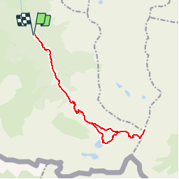

5.4 km | 8.8 km-effort

User


FREE GPS app for hiking
 SityTrail
IGN / Geographical institutes
SityTrail World
The world is yours!
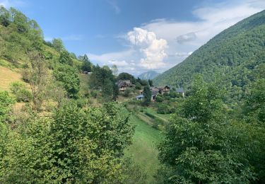
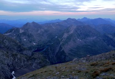
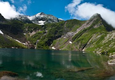
Trail Running of 18.5 km to be discovered at Occitania, Ariège, Bordes-Uchentein. This trail is proposed by tracegps.
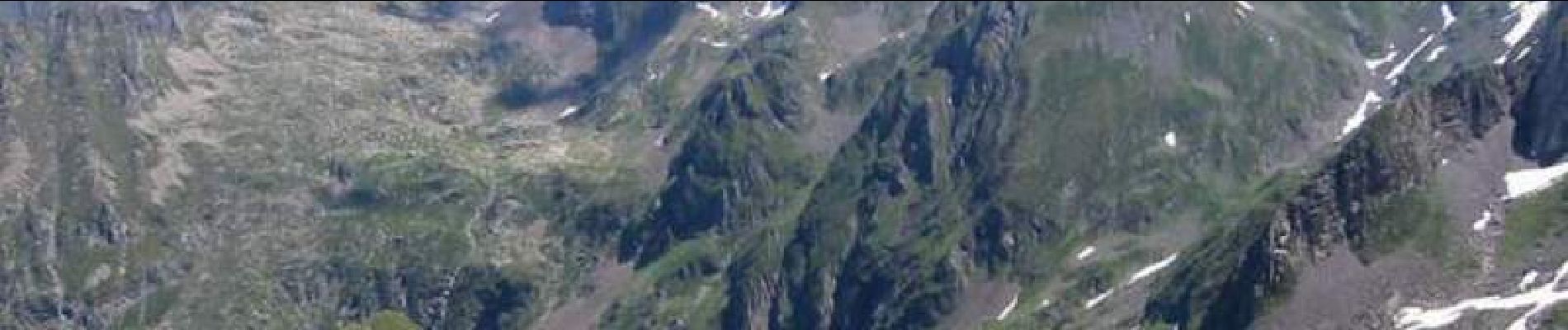
Ascension du mont Valier. Passage par la cascade de Nerech, le refuge des Estagnous, l’Étang Rond et retour.


Walking
Walking
Walking
Walking
Walking
On foot
On foot
Walking