


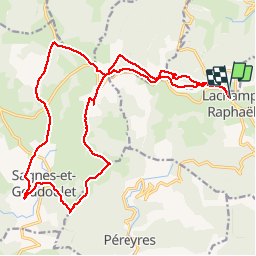

16.1 km | 24 km-effort

User


FREE GPS app for hiking
 SityTrail
IGN / Geographical institutes
SityTrail World
The world is yours!
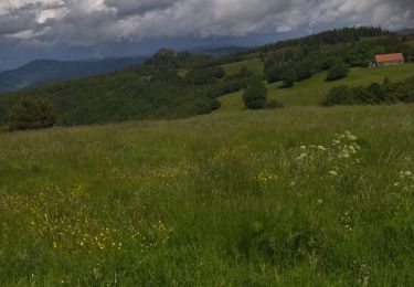
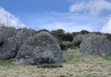
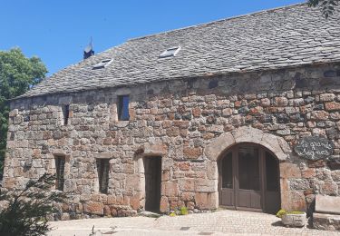
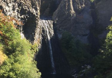
Trail Walking of 23 km to be discovered at Auvergne-Rhône-Alpes, Ardèche, Lachamp-Raphaël. This trail is proposed by bernadette revoux.
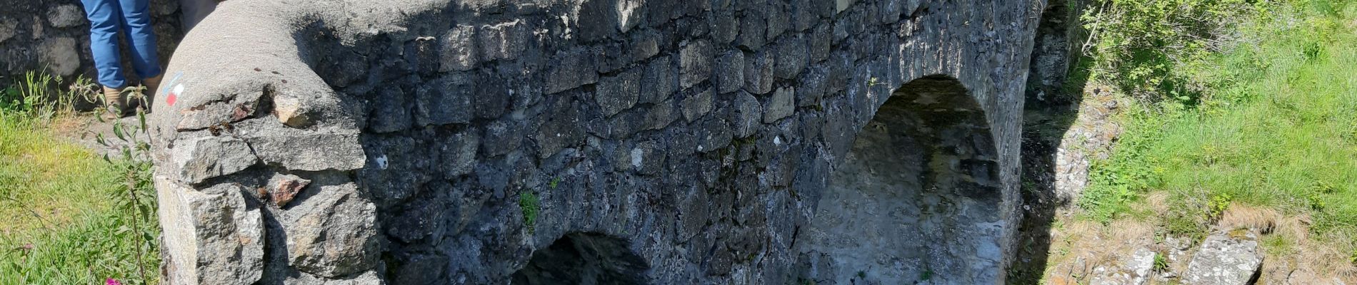
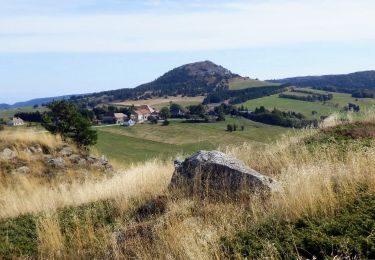
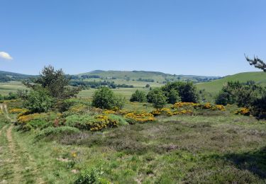
Vues à vous couper le souffle sur la montagne ardéchoise. Le mont Gerbier de Jonc tout proche et les nombreux sucs de la montagne. Pariries , pâturages. Vaches plantureuses ! Beurre et produits laitiers presqu'en direct sur notre table grâce aux produts l'Areilladou de la laiterie Carrier.


Walking
Walking
Walking

Walking
Walking

Walking
Walking
Walking