


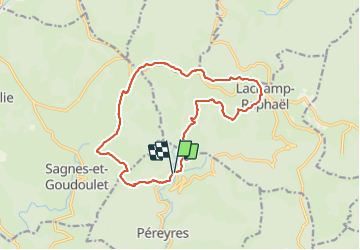

14.1 km | 19.4 km-effort

User GUIDE


FREE GPS app for hiking
 SityTrail
IGN / Geographical institutes
SityTrail World
The world is yours!
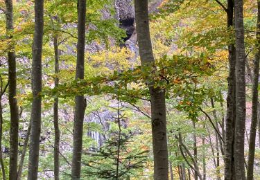
Trail Walking of 16.1 km to be discovered at Auvergne-Rhône-Alpes, Ardèche, Péreyres. This trail is proposed by thonyc.
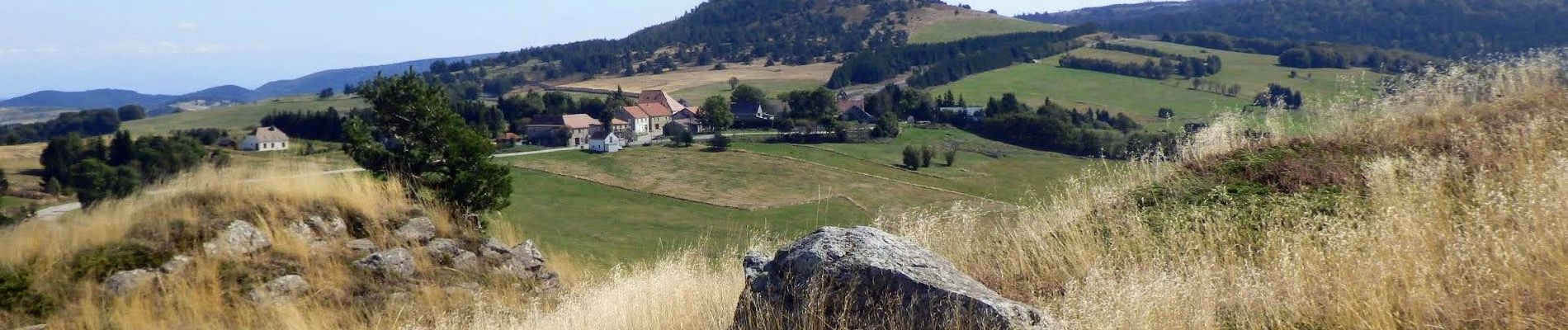
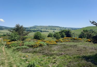
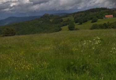
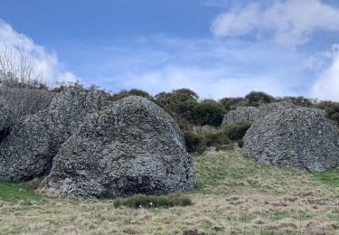
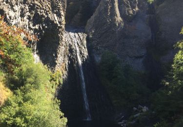
Parcours très varié malgré quelques km sur petites routes goudronnées (très peu de circulation). Les panoramas sont différents et très jolis.
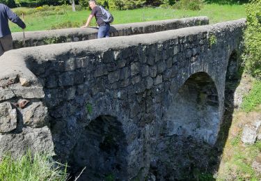
A voir La Tour à Eau sur la ligne de partage des eaux Méditerranée-Atlantique.
Nota: vers le 14ème km, écart carte-terrain entre la cote 1268 et La Baralade. Le début du GRP indiqué sur la carte est impraticable. Entrer dans le champ par le portail (cable électrique) et prendre directement à droite. Le balisage GRP Jaune-Rouge est repris sur les arbres un peu plus loin.


Walking
Walking
Walking
Walking
Walking

Walking

Motorbike
Walking