


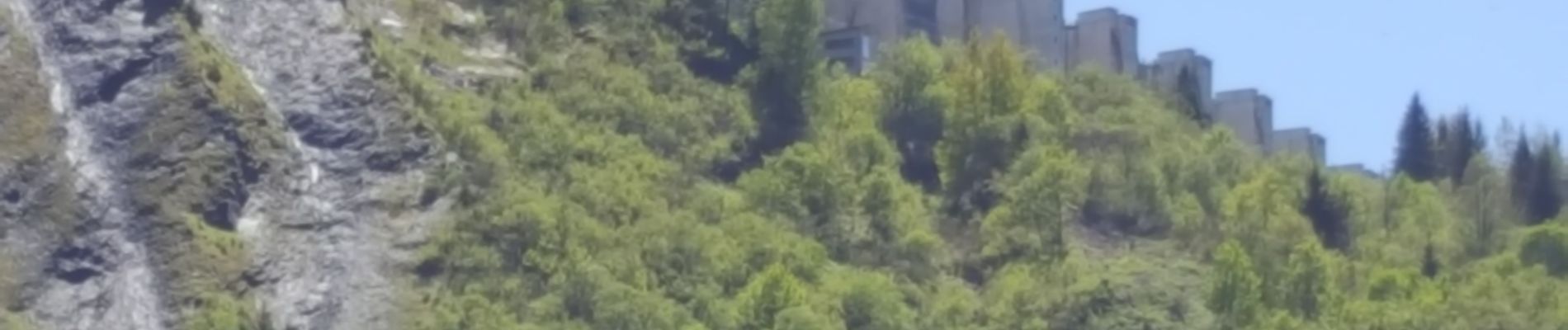
girotte

Liebeaux
User
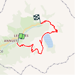

Length
14.2 km

Max alt
1938 m

Uphill gradient
909 m
Km-Effort
26 km

Min alt
1155 m

Downhill gradient
833 m
Boucle
No
Creation date :
2019-06-13 07:06:33.409
Updated on :
2019-06-13 13:20:48.641
6h12
Difficulty : Very easy

FREE GPS app for hiking
 SityTrail
IGN / Geographical institutes
SityTrail Plus
The world is yours!
About
Trail Walking of 14.2 km to be discovered at Auvergne-Rhône-Alpes, Savoy, Hauteluce. This trail is proposed by Liebeaux.
Photos


Positioning
Country:
France
Region :
Auvergne-Rhône-Alpes
Department/Province :
Savoy
Municipality :
Hauteluce
Location:
Unknown
Start:(Dec)
Start:(UTM)
314360 ; 5069894 (32T) N.
Comments