


yviers

bert16
User
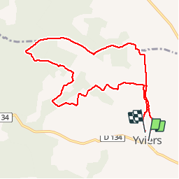

Length
9.6 km

Max alt
149 m

Uphill gradient
152 m
Km-Effort
11.7 km

Min alt
61 m

Downhill gradient
156 m
Boucle
Yes
Creation date :
2019-06-16 06:23:18.315
Updated on :
2019-06-16 08:45:48.213
2h21
Difficulty : Very easy

FREE GPS app for hiking
 SityTrail
IGN / Geographical institutes
SityTrail Plus
The world is yours!
About
Trail Walking of 9.6 km to be discovered at New Aquitaine, Charente, Yviers. This trail is proposed by bert16.
Description
comités des fêtes yviers
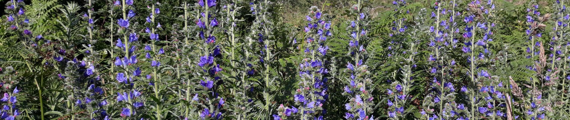
Photos


Positioning
Country:
France
Region :
New Aquitaine
Department/Province :
Charente
Municipality :
Yviers
Location:
Unknown
Start:(Dec)
Start:(UTM)
734850 ; 5017762 (30T) N.
Comments