


mp uffholtz 2019

stempfel52
User GUIDE
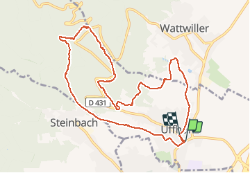

Length
11.2 km

Max alt
592 m

Uphill gradient
353 m
Km-Effort
15.9 km

Min alt
300 m

Downhill gradient
349 m
Boucle
Yes
Creation date :
2019-06-16 08:25:30.664
Updated on :
2020-03-13 10:09:44.864
2h53
Difficulty : Very easy

FREE GPS app for hiking
 SityTrail
IGN / Geographical institutes
SityTrail Plus
The world is yours!
About
Trail Walking of 11.2 km to be discovered at Grand Est, Haut-Rhin, Uffholtz. This trail is proposed by stempfel52.
Positioning
Country:
France
Region :
Grand Est
Department/Province :
Haut-Rhin
Municipality :
Uffholtz
Location:
Unknown
Start:(Dec)
Start:(UTM)
363820 ; 5297696 (32T) N.
Comments