


chatignac 18 juin 2019

bert16
User
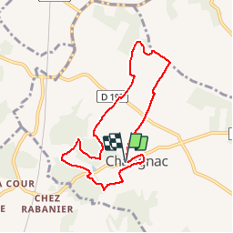

Length
7.6 km

Max alt
195 m

Uphill gradient
192 m
Km-Effort
10.2 km

Min alt
100 m

Downhill gradient
194 m
Boucle
Yes
Creation date :
2019-06-18 07:01:44.639
Updated on :
2019-06-18 09:05:33.399
2h02
Difficulty : Medium

FREE GPS app for hiking
 SityTrail
IGN / Geographical institutes
SityTrail Plus
The world is yours!
About
Trail Walking of 7.6 km to be discovered at New Aquitaine, Charente, Châtignac. This trail is proposed by bert16.
Description
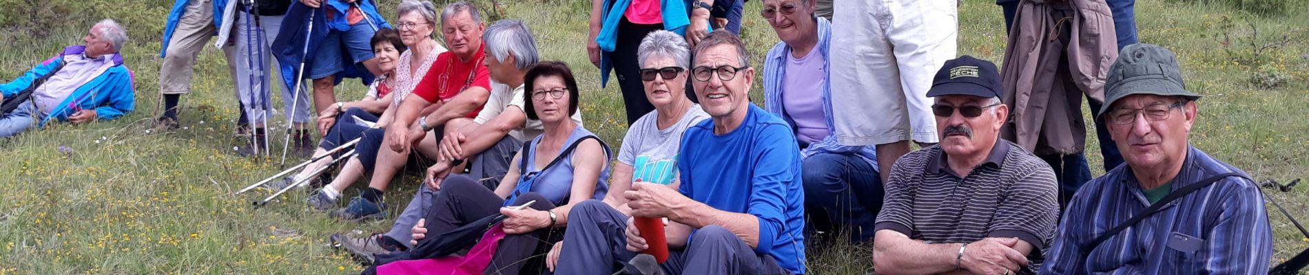
Albert nous a invité. merci
Photos


Positioning
Country:
France
Region :
New Aquitaine
Department/Province :
Charente
Municipality :
Châtignac
Location:
Unknown
Start:(Dec)
Start:(UTM)
734162 ; 5025767 (30T) N.
Comments