


Saint-Antoine-du-Rocher - circuit 2 - 9.2km 95m 2h05 - 2019 06 18

Orcal37
User GUIDE
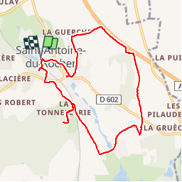

Length
9.2 km

Max alt
122 m

Uphill gradient
96 m
Km-Effort
10.5 km

Min alt
76 m

Downhill gradient
95 m
Boucle
Yes
Creation date :
2019-06-18 14:19:35.399
Updated on :
2019-08-11 18:32:57.981
2h05
Difficulty : Very easy

FREE GPS app for hiking
 SityTrail
IGN / Geographical institutes
SityTrail Plus
The world is yours!
About
Trail Walking of 9.2 km to be discovered at Centre-Loire Valley, Indre-et-Loire, Saint-Antoine-du-Rocher. This trail is proposed by Orcal37.
Description
Saint-Antoine-du-Rocher - circuit 2 - 9.2km 95m 2h05 - 2019 06 18
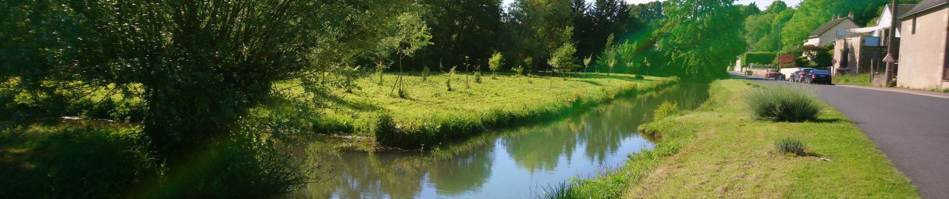
Photos


Positioning
Country:
France
Region :
Centre-Loire Valley
Department/Province :
Indre-et-Loire
Municipality :
Saint-Antoine-du-Rocher
Location:
Unknown
Start:(Dec)
Start:(UTM)
321363 ; 5263039 (31T) N.
Comments