


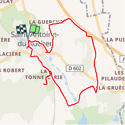

10,5 km | 12,5 km-effort

Utilisateur GUIDE


Application GPS de randonnée GRATUITE
 SityTrail
IGN / Instituts géographiques
SityTrail World
Le monde est à vous
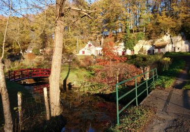
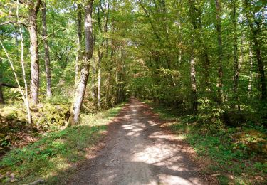
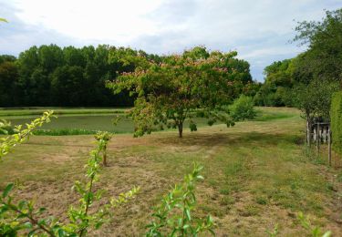
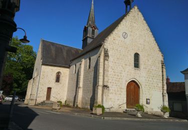
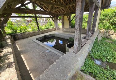
Randonnée Marche de 9,2 km à découvrir à Centre-Val de Loire, Indre-et-Loire, Saint-Antoine-du-Rocher. Cette randonnée est proposée par Orcal37.
Saint-Antoine-du-Rocher - circuit 2 - 9.2km 95m 2h05 - 2019 06 18


Marche

Marche
Marche
Marche
Marche
Marche
Marche

Marche
Marche