


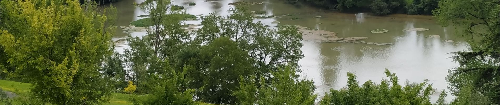
Sources de la Touvre 20-06-2019

jmrobin
User
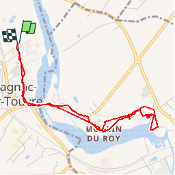

Length
4.9 km

Max alt
87 m

Uphill gradient
84 m
Km-Effort
6 km

Min alt
43 m

Downhill gradient
86 m
Boucle
Yes
Creation date :
2019-06-20 11:43:50.309
Updated on :
2019-06-20 13:04:27.313
1h20
Difficulty : Very easy

FREE GPS app for hiking
 SityTrail
IGN / Geographical institutes
SityTrail Plus
The world is yours!
About
Trail Walking of 4.9 km to be discovered at New Aquitaine, Charente, Magnac-sur-Touvre. This trail is proposed by jmrobin.
Photos

Positioning
Country:
France
Region :
New Aquitaine
Department/Province :
Charente
Municipality :
Magnac-sur-Touvre
Location:
Unknown
Start:(Dec)
Start:(UTM)
284868 ; 5061130 (31T) N.
Comments