
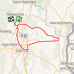
Beblenheim Artzenheim Colmar Beblenheim.

Schnacka
User

Length
46 km

Max alt
221 m

Uphill gradient
254 m
Km-Effort
49 km

Min alt
173 m

Downhill gradient
251 m
Boucle
Yes
Creation date :
2014-12-10 00:00:00.0
Updated on :
2014-12-10 00:00:00.0
3h36
Difficulty : Easy

FREE GPS app for hiking
 SityTrail
IGN / Geographical institutes
SityTrail Plus
The world is yours!
About
Trail Cycle of 46 km to be discovered at Grand Est, Haut-Rhin, Beblenheim. This trail is proposed by Schnacka.
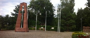
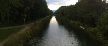
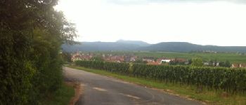
Photos


Points of interest


Positioning
Country:
France
Region :
Grand Est
Department/Province :
Haut-Rhin
Municipality :
Beblenheim
Location:
Unknown
Start:(Dec)
Start:(UTM)
375443 ; 5335100 (32U) N.
Comments