


CC_Velay_FD_27_Castillon_Sauvelade_20081112

patrickdanilo
User
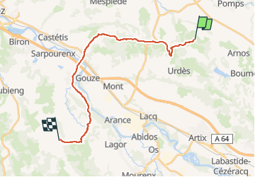

Length
22 km

Max alt
231 m

Uphill gradient
354 m
Km-Effort
27 km

Min alt
72 m

Downhill gradient
435 m
Boucle
No
Creation date :
2019-06-23 12:33:06.475
Updated on :
2022-09-19 10:03:52.395
5h15
Difficulty : Easy

FREE GPS app for hiking
 SityTrail
IGN / Geographical institutes
SityTrail Plus
The world is yours!
About
Trail Walking of 22 km to be discovered at New Aquitaine, Pyrénées-Atlantiques, Castillon. This trail is proposed by patrickdanilo.
Description
Randonnée Marche de 22 km à découvrir à Nouvelle-Aquitaine, Pyrénées-Atlantiques, Castillon. Cette randonnée est proposée par patrickdanilo.
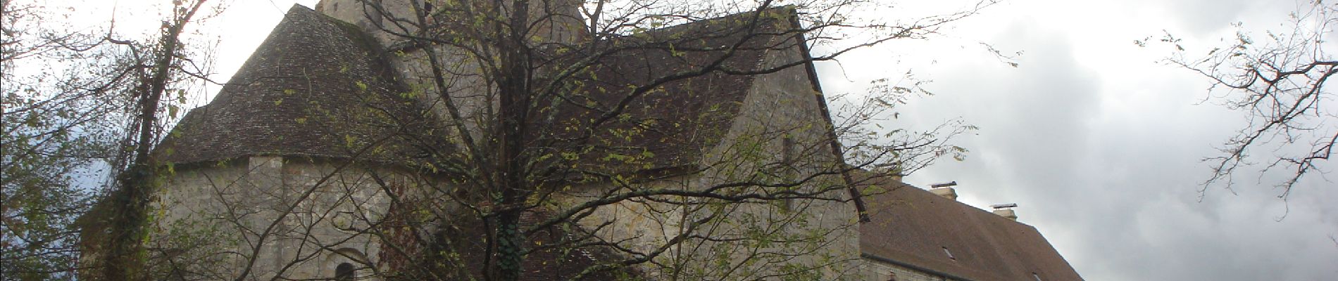
Photos


Positioning
Country:
France
Region :
New Aquitaine
Department/Province :
Pyrénées-Atlantiques
Municipality :
Castillon
Location:
Unknown
Start:(Dec)
Start:(UTM)
696192 ; 4815475 (30T) N.
Comments