


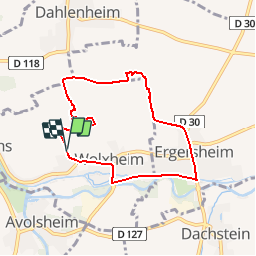

13.6 km | 17.9 km-effort


User


FREE GPS app for hiking
 SityTrail
IGN / Geographical institutes
SityTrail World
The world is yours!
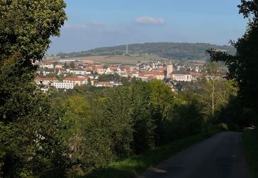
Trail Walking of 6.9 km to be discovered at Grand Est, Bas-Rhin, Wolxheim. This trail is proposed by jo-da.


Walking

Walking

Walking
Walking
Horseback riding

Nordic walking
Road bike

Walking
Electric bike