


4.6 km | 6.4 km-effort


User


FREE GPS app for hiking
 SityTrail
IGN / Geographical institutes
SityTrail World
The world is yours!
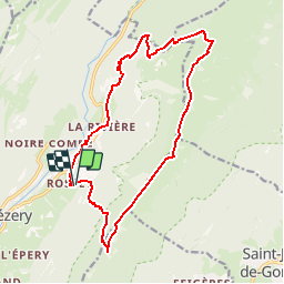
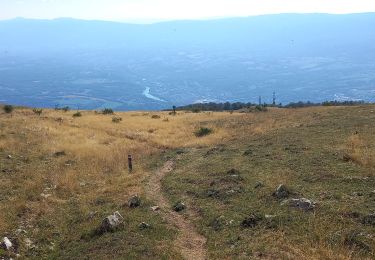
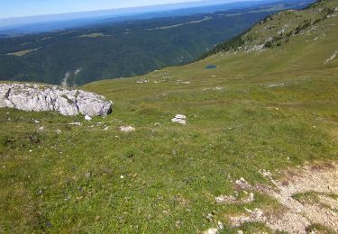
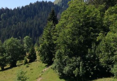
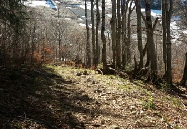
Trail Walking of 16.2 km to be discovered at Auvergne-Rhône-Alpes, Ain, Chézery-Forens. This trail is proposed by djudju39.
avec une boucle le lendemain en direction du Reculet
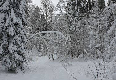
Snowshoes
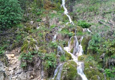
Walking
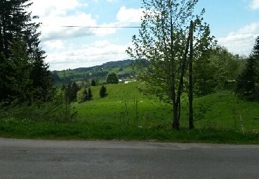
Walking
Walking
Walking
Walking

Walking
Walking

Walking