


12.6 km | 17 km-effort

User


FREE GPS app for hiking
 SityTrail
IGN / Geographical institutes
SityTrail World
The world is yours!
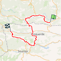
Trail Bicycle tourism of 57 km to be discovered at Occitania, Aude, Cucugnan. This trail is proposed by karawatsj.
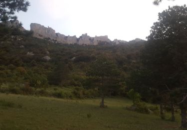
Bij het verlaten van Cucugnan neemje afscheid van het laatste bolwerk van de Katharen (Quéribus).
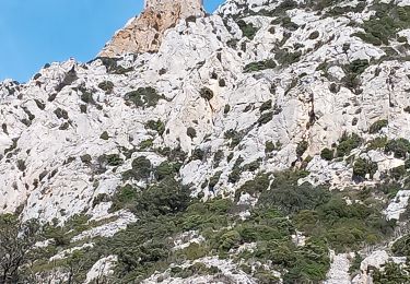
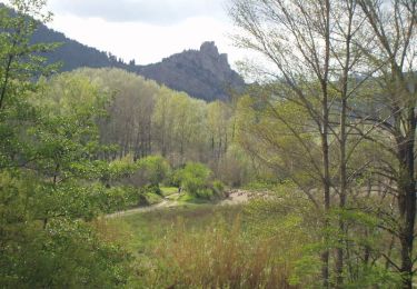
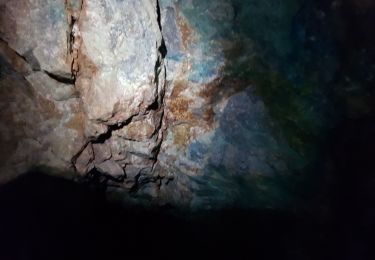
Maar direct daarna passeren je al onderlangs een impossante rots met daarop alweer een aandenken van de Katharen, de ruïnes van de Peyrepertuse.
Je stijgt geleidelijk en de colletjes volgen snel achter elkaar.
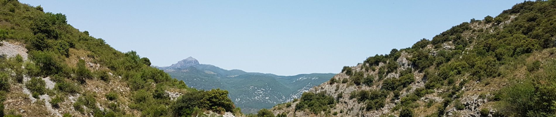
Het dorre landschap van is iets minder dor dan het traject Leucate-Cicugnan maar toch....nog dor.
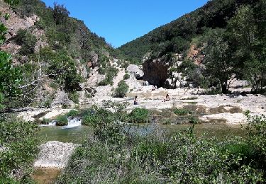
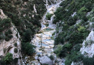
In Cubiéres-sur-Cinobles slaan je linksaf en rij je door de wondermooie "Gorges de Galamus" met diep beneden je het stroompje "Agly".
Achter deze kloof kom je in een hele brede oost-west-vallei waar de vegetatie minder dor is. Tussen de struiken en de bomen staat er gras.
Je volgt de Agly bergafwaarts zowat 17km tot Ansignan.
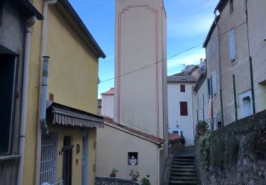
Een kleine pick-nick vooraad inslaan. Genieten van een tasje koffie onder de platanen op het pleintje. Maar ook niet te lang want er wacht je nog een flinke klim, richting Le Vivier.
In Prats-de-Sournia krijg je zicht op een oud, Romeins nog steeds werkend aquaduct.
De lange klim gaat door tot de Col del Mas. De inspanning wordt beloond door de geweldige panorama's tijdens de afdaling naar Caudies-de-Fenouillèdes.


Walking
Walking
Walking
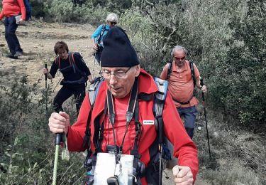
Walking
Walking
Walking
Ropes
Walking