


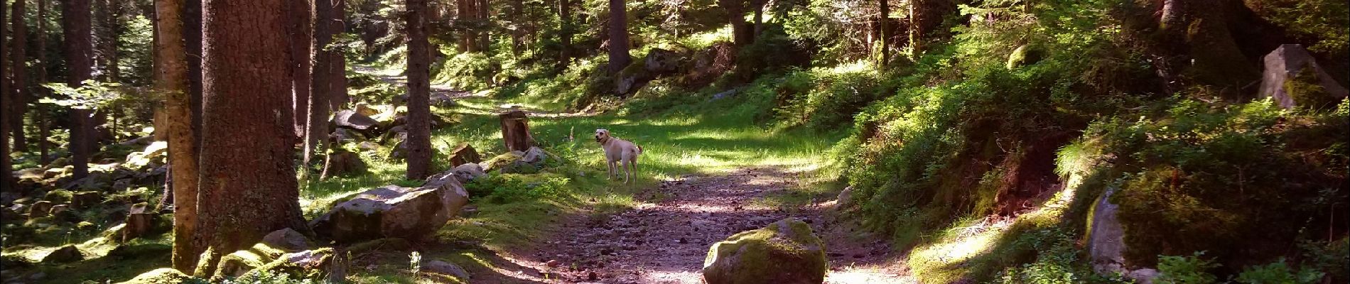
Boucle Schildmatt / Lac vert / Auberge du Tanet

zazie
User


Length
6.3 km

Max alt
1081 m

Uphill gradient
283 m
Km-Effort
10.1 km

Min alt
817 m

Downhill gradient
286 m
Boucle
Yes
Creation date :
2019-06-29 15:08:39.059
Updated on :
2019-06-29 19:50:33.936
1h35
Difficulty : Very easy

FREE GPS app for hiking
 SityTrail
IGN / Geographical institutes
SityTrail Plus
The world is yours!
About
Trail Walking of 6.3 km to be discovered at Grand Est, Haut-Rhin, Soultzeren. This trail is proposed by zazie.
Photos


Positioning
Country:
France
Region :
Grand Est
Department/Province :
Haut-Rhin
Municipality :
Soultzeren
Location:
Unknown
Start:(Dec)
Start:(UTM)
357013 ; 5327440 (32U) N.
Comments