


3.9 km | 10.2 km-effort

User


FREE GPS app for hiking
 SityTrail
IGN / Geographical institutes
SityTrail World
The world is yours!
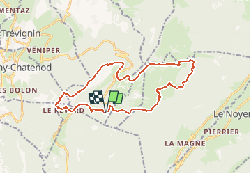
Trail Walking of 16.6 km to be discovered at Auvergne-Rhône-Alpes, Savoy, Montcel. This trail is proposed by djeepee74.
BOUCLE
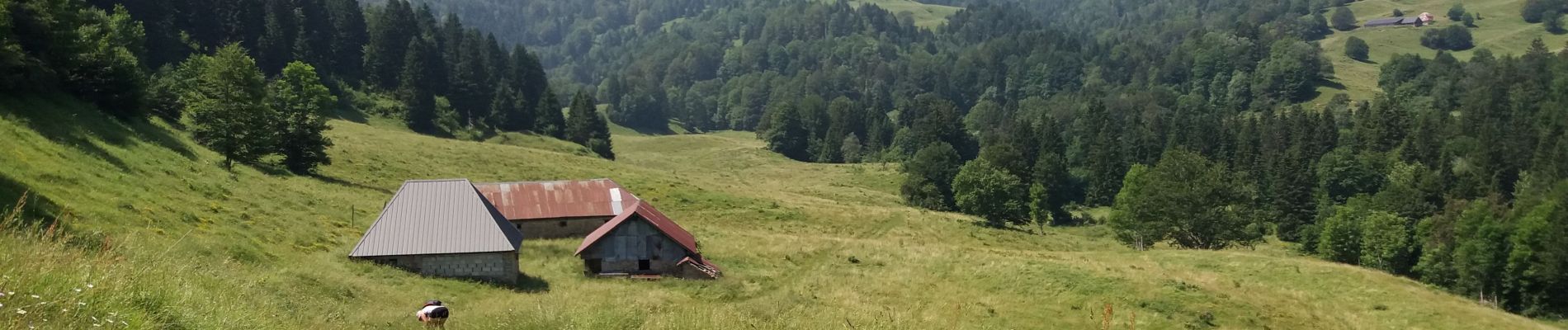
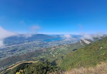
Randonnée très sympa aux paysages variés... agrémentés de magnifiques panoramas ne serait-ce que ceux que nous offre la crête de la "Tour de l'Angle Est".
Au Km 14, après un bon repas aux "Quatre vallées" ou simplement un Monaco bien frais... accompagnant un "Cèpe du Revard", il vous faut redescendre... On peut éviter de prendre la route !
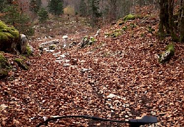
Pour ce faire, il est possible, à partir du parking , de descendre plein sud sous le restaurant à l'aplomb de la terrasse... pour revenir longer ensuite l'attraction de plein air "luge tubing / bouée"... pour enfin rejoindre le chemin en cailloux blancs qu'on aperçoit en contrebas.


Walking

Walking
Walking
Walking
Walking
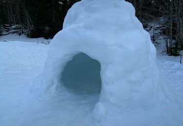
Snowshoes
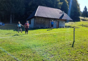
Walking
Walking
Mountain bike