Trail Walking Cahors - SityTrail - Compostelle - Du Puy en Velay à Fisterra - Photo

SityTrail - Compostelle - Du Puy en Velay à Fisterra

© OpenStreetMap contributors
Length
Length
424 km
Max alt
Max alt
1430 m
Uphill gradient
Uphill gradient
9020 m
Km-Effort
Km-Effort  
541 km
Min alt
Min alt
55 m
Downhill gradient
Downhill gradient
8200 m
Boucle
Boucle
No
Creation date :
2019-07-02 19:27:29.397
Updated on :
2019-07-02 19:52:36.286

(0 Reviews)

Walking
Walking
--
Difficulty : Difficult

Scan this QR Code to open this trail in the SityTrail application

FREE GPS app for hiking

Logo SityTrail SityTrail

IGN / Geographical institutes

Download SityTrail from the App Store Download SityTrail from Google Play

Logo SityTrail SityTrail World

The world is yours!

Download SityTrail from the App Store Download SityTrail from Google Play Download SityTrail on Huawei AppGallery

About

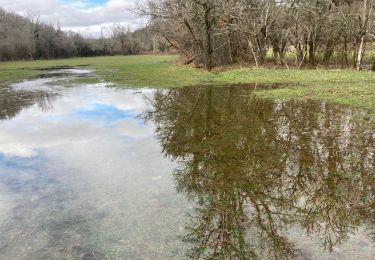
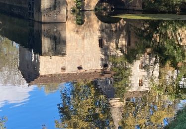
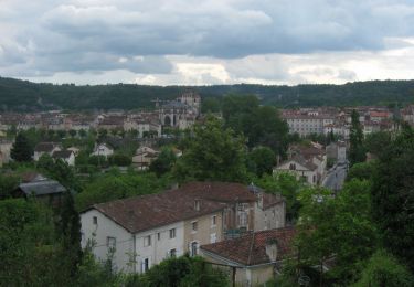
Trail Walking of 424 km to be discovered at Occitania, Lot, Cahors. This trail is proposed by LeonEvain.

Description

Départ Le Puy - Arrivée à Fisterra

Trace non rectifiée entre Roncevaux et Fisterra

Elevation profile

Positioning

Country:
France
Region :
Occitania
Department/Province :
Lot
Municipality :
Cahors
Location:
Unknown
Start:(UTM)
376065 ; 4922725 (31T) N.

Trails nearby

Trail Mountain bike Cahors - Cahors-La Rozière 2005 - Photo
Mountain bike
tracegps

Mountain bike

Very difficult
(1)
Cahors, Occitania, Lot, France
62 km | 81 km-effort
5h 0min
Yes
Trail Walking Pradines - Cahors les Durands 7km - Photo
Walking
PariseJL

Walking

Easy
(1)
Pradines, Occitania, Lot, France
7.1 km | 9.3 km-effort
2h 13min
Yes
Trail Nordic walking Pradines - 15km chemin des combettes - Photo
Nordic walking
Dominique Molinier

Nordic walking

Very easy
(1)
Pradines, Occitania, Lot, France
14.8 km | 17.9 km-effort
2h 15min
Yes
Trail Walking Bellefont-La Rauze - Larroque des arcs constant valroufie  - Photo
Walking
GUIDE
antignacs

Walking

Very easy
Bellefont-La Rauze, Occitania, Lot, France
11.6 km | 15 km-effort
2h 38min
Yes
Trail Walking Cahors - Croix magne  - Photo
Walking
GUIDE
antignacs

Walking

Very easy
Cahors, Occitania, Lot, France
5.2 km | 7.2 km-effort
1h 20min
No
Trail Walking Cahors - Étape Cahors Lascabannes  - Photo
Walking
Jean-MarieFaux

Walking

Easy
Cahors, Occitania, Lot, France
23 km | 30 km-effort
18h 50min
No
Trail Walking Cahors - CahorsMontcuq - Photo
Walking
patrickdanilo

Walking

Medium
Cahors, Occitania, Lot, France
22 km | 29 km-effort
4h 40min
No
Trail Walking Cahors - Cahors - Lascabanes - Chemin de Compostelle - Photo
Walking
tracegps

Walking

Very difficult
(1)
Cahors, Occitania, Lot, France
24 km | 31 km-effort
9h 30min
No
Trail Running Cahors - Cahors, le Lot, le causse, la vieille ville - Photo
Running
tracegps

Running

Medium
Cahors, Occitania, Lot, France
7.3 km | 10 km-effort
45min
Yes


Close
My subscriptions