


8.2 km | 17.7 km-effort


User

FREE GPS app for hiking
 SityTrail
IGN / Geographical institutes
SityTrail World
The world is yours!
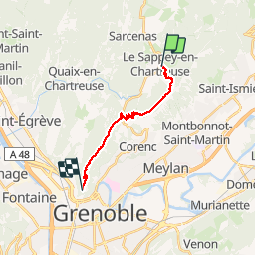
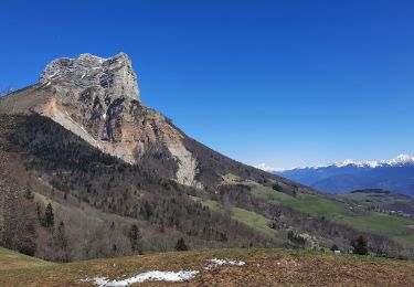
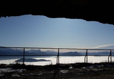
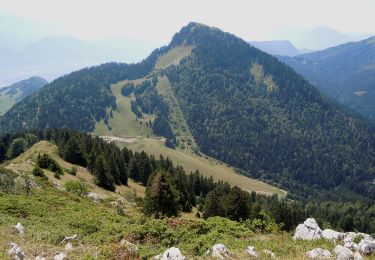
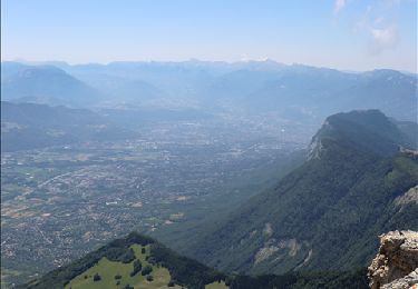
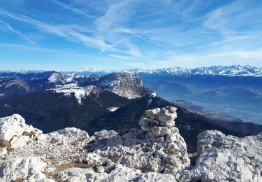
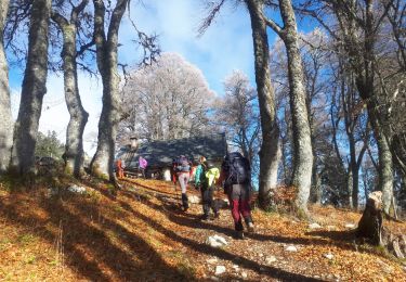
Trail Walking of 14.8 km to be discovered at Auvergne-Rhône-Alpes, Isère, Le Sappey-en-Chartreuse. This trail is proposed by pcugnod.
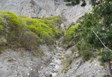
Montée au fort du St Eynard - Descente à la Bastille (1245 m en négatif)

Walking
Walking

Walking
On foot
Walking
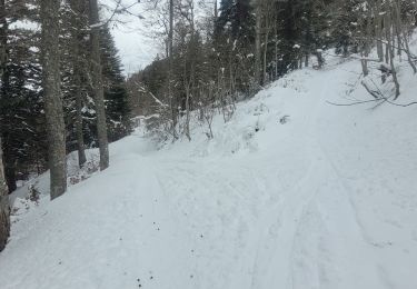
Touring skiing
Walking
Walking
Walking