


Circuit historique 1914-1918 Hohrodberg - Linge

VacheKiri67
User


5h48
Difficulty : Difficult

FREE GPS app for hiking
 SityTrail
IGN / Geographical institutes
SityTrail Plus
The world is yours!
About
Trail Walking of 14.7 km to be discovered at Grand Est, Haut-Rhin, Hohrod. This trail is proposed by VacheKiri67.
Description
Faite le 17/07/2019 avec notre fils Théo et son copain Marc.
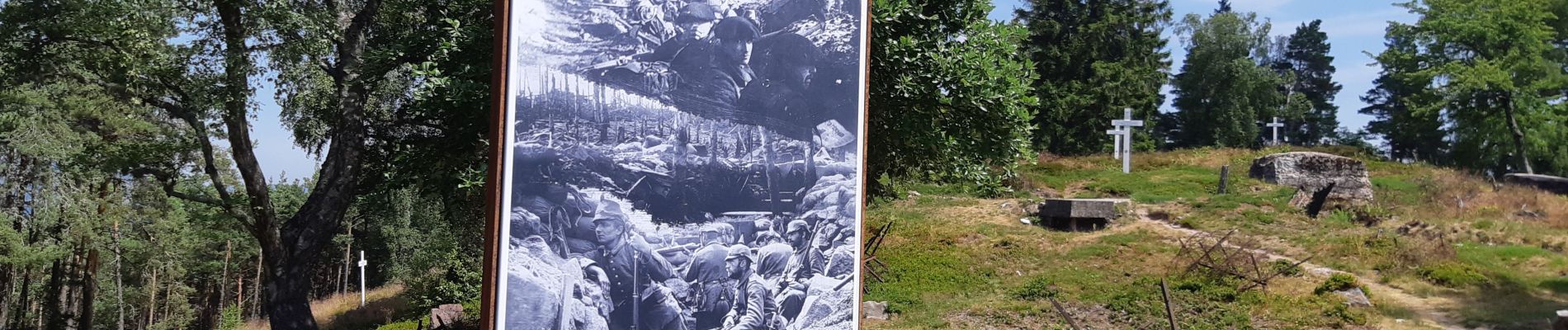
Avec la visite du champ de bataille du Linge (parcours rouge).
D'après https://www.visorando.com/randonnee-hohrodberg-linge-champ-de-bataille-de-la/
Le livret "Circuit historique 1914-1918
Hohrodberg - Linge" est téléchargeable ici
https://www.cc-vallee-munster.fr/Culture-Sports-Loisirs/Patrimoine-memoire.html
Photos


52 photos in total. Please click on a photo to see them all in the gallery.
Positioning
Comments