


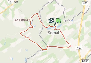


22 km | 28 km-effort

Destination Condroz-Famenne- une nature préservée PRO


FREE GPS app for hiking
 SityTrail
IGN / Geographical institutes
SityTrail World
The world is yours!
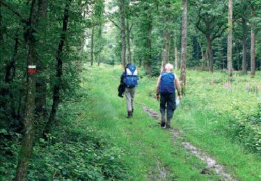
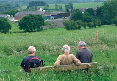
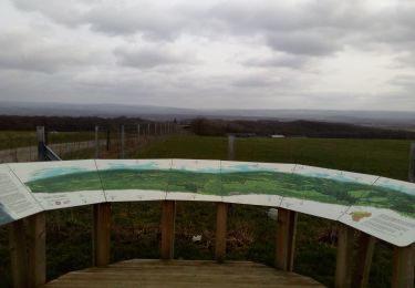
Trail Walking of 7.4 km to be discovered at Wallonia, Namur, Somme-Leuze. This trail is proposed by Vallées des Saveurs - Maison du Tourisme Condroz-Famenne.
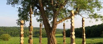
Boucle Sentiers d'Art de 7,5km qui vous fera découvrir 2 oeuvres.


Walking
Walking

Walking

Walking
On foot
Walking
Walking

On foot

On foot
très agréable, facile
Heel mooie wandeling met veel afwisseling. Veel bospaden. Rustige landwegen.
Après les pluies et l'hiver, beaucoup beaucoup de passages boueux et glissant, et des arbres en travers. Sinon très belle balade