


9.7 km | 16.6 km-effort

User GUIDE


FREE GPS app for hiking
 SityTrail
IGN / Geographical institutes
SityTrail World
The world is yours!
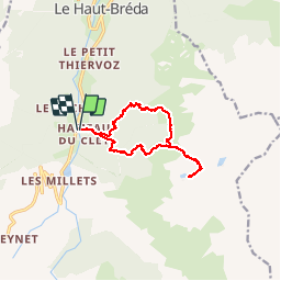
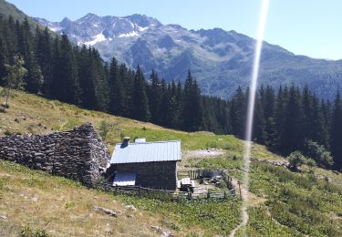
Trail Walking of 12.2 km to be discovered at Auvergne-Rhône-Alpes, Isère, Le Haut-Bréda. This trail is proposed by nadinebondoux.
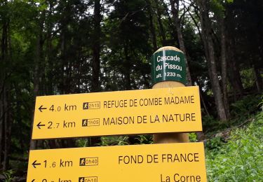
Vallée de la Valloire


Walking
Walking
Walking
Walking

Other activity

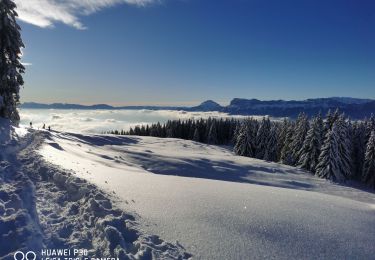
Winter sports
Walking
Snowshoes
Walking
Merci pour cette belle randonnée et vos photos !