


arradoy G4Fait

LouisROGER
User GUIDE
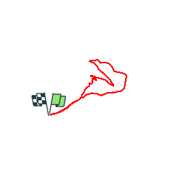

Length
6 km

Max alt
646 m

Uphill gradient
274 m
Km-Effort
9.7 km

Min alt
456 m

Downhill gradient
274 m
Boucle
Yes
Creation date :
2019-07-19 08:02:28.668
Updated on :
2019-07-19 12:18:42.998
4h14
Difficulty : Very easy

FREE GPS app for hiking
 SityTrail
IGN / Geographical institutes
SityTrail Plus
The world is yours!
About
Trail Walking of 6 km to be discovered at New Aquitaine, Pyrénées-Atlantiques, Ispoure. This trail is proposed by LouisROGER.
Description
venez en voiture par le Nord-est.
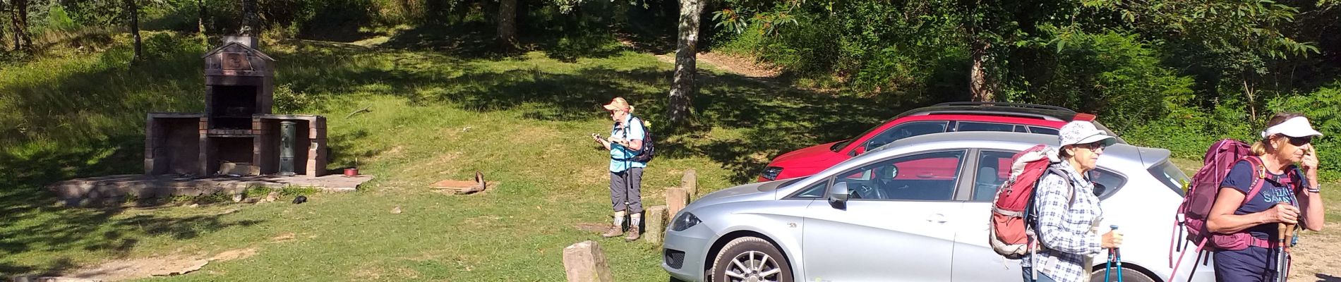
Photos


Positioning
Country:
France
Region :
New Aquitaine
Department/Province :
Pyrénées-Atlantiques
Municipality :
Ispoure
Location:
Unknown
Start:(Dec)
Start:(UTM)
642574 ; 4782361 (30T) N.
Comments