


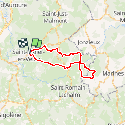


19.5 km | 26 km-effort


User


FREE GPS app for hiking
 SityTrail
IGN / Geographical institutes
SityTrail World
The world is yours!
Trail Walking of 22 km to be discovered at Auvergne-Rhône-Alpes, Haute-Loire, Saint-Didier-en-Velay. This trail is proposed by phcol.
Rando qui permet de rejoindre le sanctuaire de la Vierge des Cartaires.

Mountain bike

Horseback riding
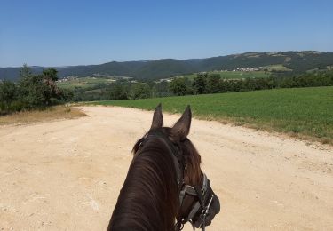
Horseback riding
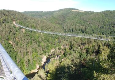
Mountain bike

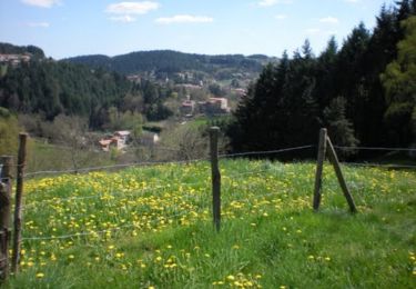
Walking

Horseback riding

On foot

Walking
Running