


22 km | 34 km-effort


User


FREE GPS app for hiking
 SityTrail
IGN / Geographical institutes
SityTrail World
The world is yours!
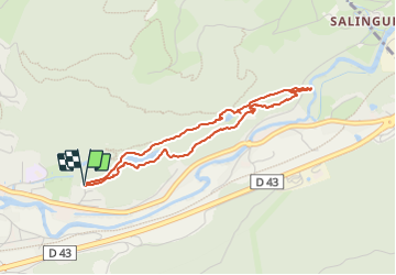
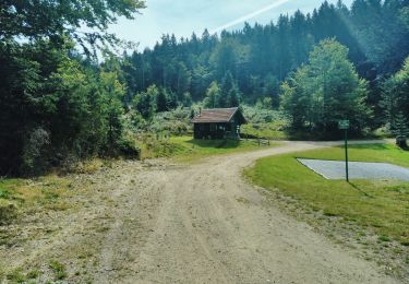
Trail Walking of 3.6 km to be discovered at Grand Est, Vosges, Saulxures-sur-Moselotte. This trail is proposed by alain.guillaume.
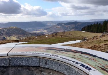
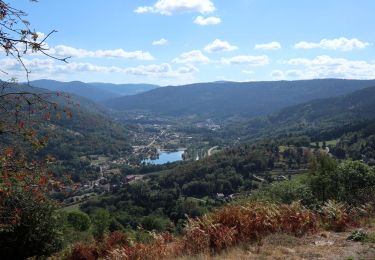
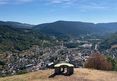
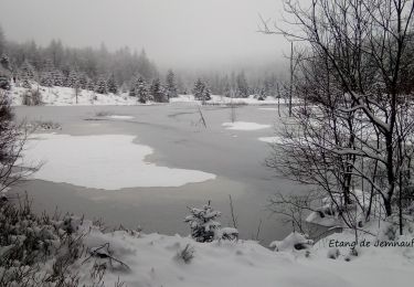
Partir de l'indication étang des fées ou plus loin, de l'autre côté bifurquer vers Salingueux. Promenade facile avec panneaux pédagogique. Beau point de vue.
Walking

Walking
Walking
Walking
Walking

On foot
Walking
Electric bike
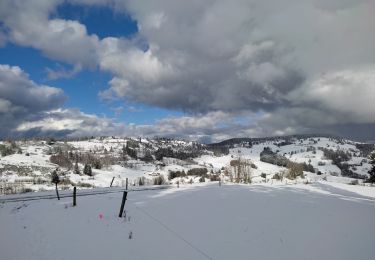
Snowshoes