


15 km | 24 km-effort

User GUIDE


FREE GPS app for hiking
 SityTrail
IGN / Geographical institutes
SityTrail World
The world is yours!
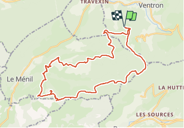
Trail Walking of 22 km to be discovered at Grand Est, Vosges, Ventron. This trail is proposed by holtzv.
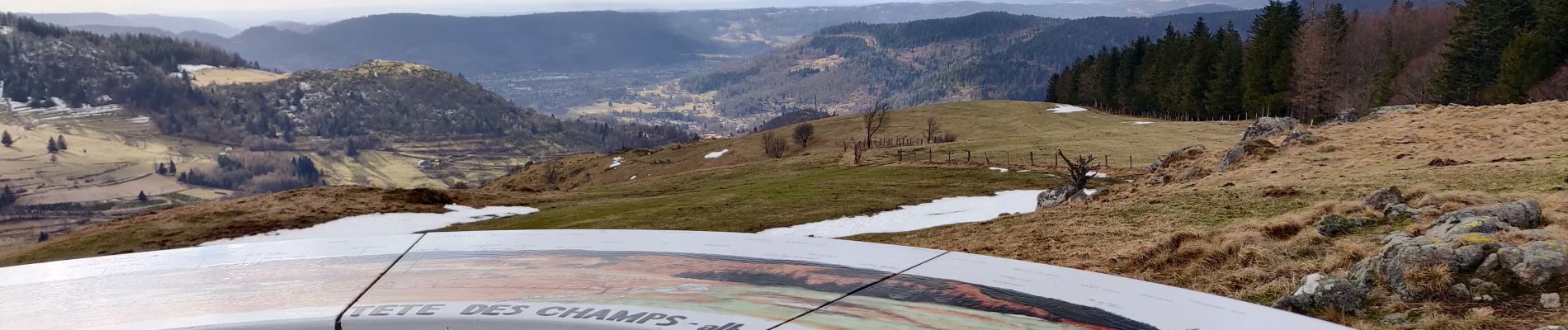
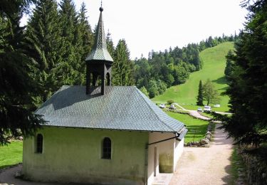
En passant par l’Abri de Forgoutte, chalet de Rochelotte, Col de Lochère, le Haut de la Lochère et le Four des Fées, la Tête des Renards, la Chapelle de Pitié, le site d’escalade de Beudevé, la Tête des Champs.


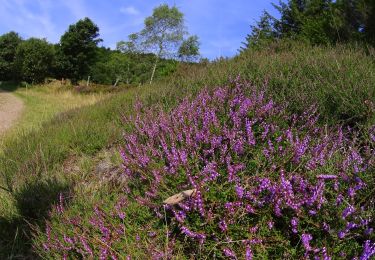
Walking

Walking

Snowshoes

Walking

Mountain bike
On foot
On foot
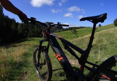
Mountain bike
Mountain bike