


11.2 km | 13.2 km-effort


User


FREE GPS app for hiking
 SityTrail
IGN / Geographical institutes
SityTrail World
The world is yours!
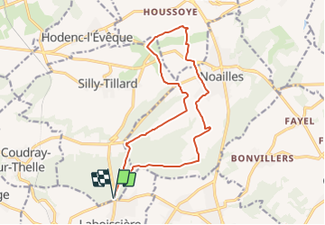
Trail Mountain bike of 15 km to be discovered at Hauts-de-France, Oise, Silly-Tillard. This trail is proposed by tracegps.
La boucle rouge de la gauloisiènne 2013, 15km 253m de dénivelé positive. Parcours assez roulant avec une très belle côte dans le bois de Rumesnil.
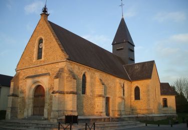
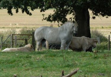
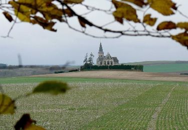
- Laboissière-en-Thelle - Photo 1")
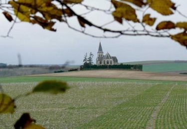
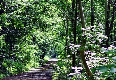
- Laboissière-en-Thelle - Photo 2")
Walking
Walking


sport
Mountain bike
Mountain bike
Mountain bike
Mountain bike
Walking