Trail Mountain bike Mortefontaine-en-Thelle - La Gauloisiènne 2012 - Mortefontaine en Thelle - Photo

La Gauloisiènne 2012 - Mortefontaine en Thelle

 tracegps
tracegps

User

© OpenStreetMap contributors
Length
Length
72 km
Max alt
Max alt
240 m
Uphill gradient
Uphill gradient
1160 m
Km-Effort
Km-Effort  
88 km
Min alt
Min alt
78 m
Downhill gradient
Downhill gradient
1150 m
Boucle
Boucle
Yes
Creation date :
2014-12-10 00:00:00.0
Updated on :
2014-12-10 00:00:00.0

(0 Reviews)

Mountain bike
Mountain bike
5h00
Difficulty : Difficult

Scan this QR Code to open this trail in the SityTrail application

FREE GPS app for hiking

Logo SityTrail SityTrail

IGN / Geographical institutes

Download SityTrail from the App Store Download SityTrail from Google Play

Logo SityTrail SityTrail World

The world is yours!

Download SityTrail from the App Store Download SityTrail from Google Play Download SityTrail on Huawei AppGallery

About

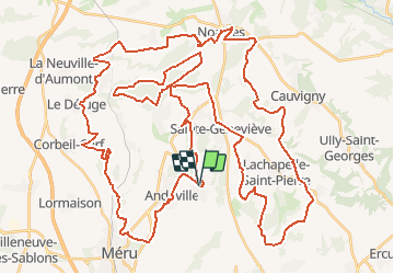
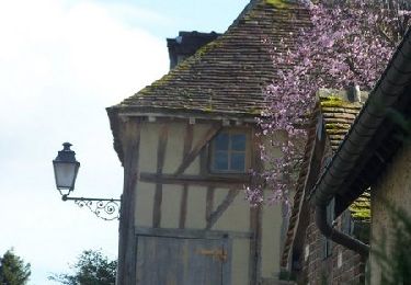
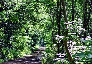
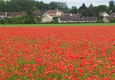
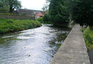
Trail Mountain bike of 72 km to be discovered at Hauts-de-France, Oise, Mortefontaine-en-Thelle. This trail is proposed by tracegps.

Description

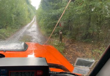
Rando VTT dans le pays de Thelle de 70km en pleine nature sur chemins et sentiers, avec une partie du parcours dans le bois de Rumesnil. Plusieurs descentes et des sigles avec des portions en plaine comme liaison.

Elevation profile

Photos

Positioning

Country:
France
Region :
Hauts-de-France
Department/Province :
Oise
Municipality :
Mortefontaine-en-Thelle
Location:
Unknown
Start:(UTM)
440809 ; 5457104 (31U) N.

Trails nearby

Trail Walking Laboissière-en-Thelle - Randonnée de Laboissière-en-Thelle  - Photo
Walking
tracegps

Walking

Medium
(1)
Laboissière-en-Thelle, Hauts-de-France, Oise, France
11.2 km | 13.2 km-effort
2h 49min
Yes
Trail sport Sainte-Geneviève - DIFF95 - Transoise 2019 - Photo
sport
celinem2773

sport

Very easy
(1)
Sainte-Geneviève, Hauts-de-France, Oise, France
123 km | 152 km-effort
Unknown
Yes
Trail 4x4 Sainte-Geneviève - Reçu 60 - Photo
4x4
celinem2773

4x4

Sainte-Geneviève, Hauts-de-France, Oise, France
130 km | 160 km-effort
9h 35min
Yes
Trail Mountain bike Silly-Tillard - La Gauloisienne 2013  (boucle noire) - Laboissière-en-Thelle - Photo
Mountain bike
tracegps

Mountain bike

Medium
Silly-Tillard, Hauts-de-France, Oise, France
18.8 km | 23 km-effort
1h 19min
Yes
Trail Mountain bike Silly-Tillard - La Gauloisienne 2013  (boucle rouge)- Laboissière-en-Thelle  - Photo
Mountain bike
tracegps

Mountain bike

Medium
Silly-Tillard, Hauts-de-France, Oise, France
15 km | 19 km-effort
1h 10min
Yes
Trail Mountain bike Silly-Tillard - La Gauloisienne 2013 - boucle bleue - Laboissière-en-Thelle - Photo
Mountain bike
tracegps

Mountain bike

Medium
Silly-Tillard, Hauts-de-France, Oise, France
14.9 km | 18.3 km-effort
1h 0min
Yes
Trail Mountain bike Mortefontaine-en-Thelle -  La Gauloisienne 2013 - boucle verte - Mortefontaine en Thelle - Photo
Mountain bike
tracegps

Mountain bike

Medium
Mortefontaine-en-Thelle, Hauts-de-France, Oise, France
14.8 km | 17.5 km-effort
1h 0min
Yes
Trail Mountain bike Dieudonné - Dieudonné - Méru - Esches - Photo
Mountain bike
tracegps

Mountain bike

Medium
Dieudonné, Hauts-de-France, Oise, France
42 km | 51 km-effort
2h 30min
Yes
Trail Walking Méru - Meru - Photo
Walking
christianbossavy

Walking

Méru, Hauts-de-France, Oise, France
13.7 km | 15.4 km-effort
3h 19min
Yes


Close
My subscriptions