


20 km | 23 km-effort

User


FREE GPS app for hiking
 SityTrail
IGN / Geographical institutes
SityTrail World
The world is yours!
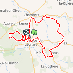
Trail Mountain bike of 43 km to be discovered at Normandy, Orne, Gouffern en Auge. This trail is proposed by tracegps.
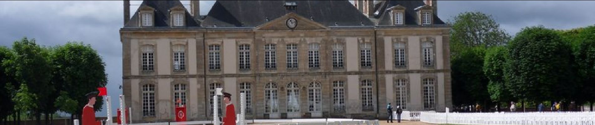
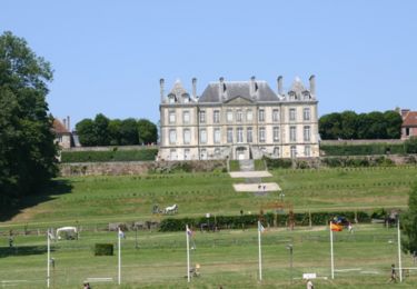
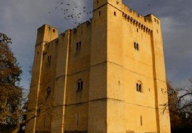
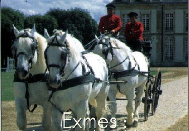
Un circuit d'environ 43 km qui permet de découvrir par les chemins les alentours du Bourg Saint Léonard. Avec notamment une visite de Exmes et du Haras du Pin.

Equestrian
Walking

Equestrian

Mountain bike
Walking

Mountain bike
Mountain bike
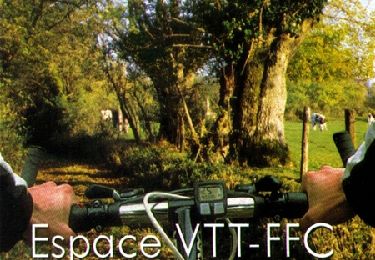
Mountain bike
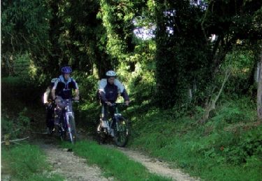
Mountain bike
tres bien