


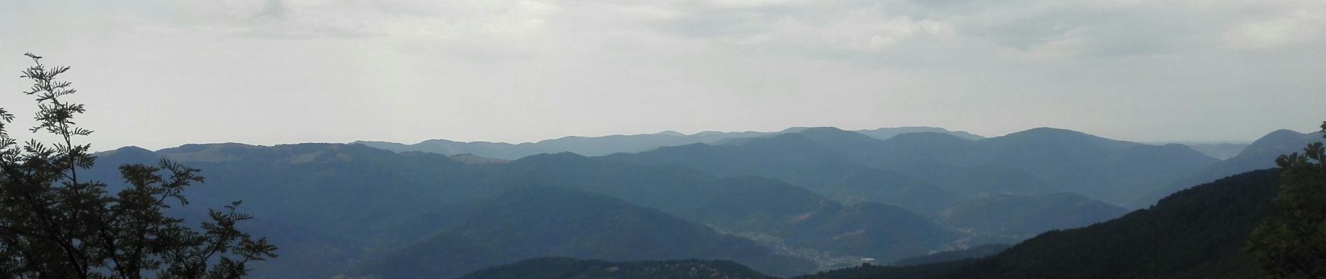
GTVosges - Étape 5 - Markstein - Thann

patdalsace
User
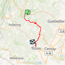

Length
24 km

Max alt
1420 m

Uphill gradient
669 m
Km-Effort
36 km

Min alt
340 m

Downhill gradient
1490 m
Boucle
No
Creation date :
2019-07-26 05:28:00.34
Updated on :
2019-07-27 08:08:15.883
8h33
Difficulty : Medium

FREE GPS app for hiking
 SityTrail
IGN / Geographical institutes
SityTrail Plus
The world is yours!
About
Trail Walking of 24 km to be discovered at Grand Est, Haut-Rhin, Ranspach. This trail is proposed by patdalsace.
Photos


Positioning
Country:
France
Region :
Grand Est
Department/Province :
Haut-Rhin
Municipality :
Ranspach
Location:
Unknown
Start:(Dec)
Start:(UTM)
353449 ; 5309412 (32T) N.
Comments