


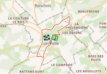

13.2 km | 14.4 km-effort


User


FREE GPS app for hiking
 SityTrail
IGN / Geographical institutes
SityTrail World
The world is yours!
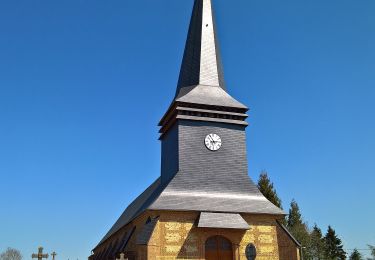
Trail Walking of 10.9 km to be discovered at Normandy, Seine-Maritime, Conteville. This trail is proposed by tracegps.
Circuit proposé par l'Office de Tourisme d'Aumale. En prenant le chemin face à l'église de Conteville, vous arrivez à la D13 que vous prenez à droite jusqu'au premier sentier de nouveau à droite. Après avoir traversé la D35, vous continuez jusqu'à la D56, vous poursuivez le chemin jusqu'au château d'eau. Vous partez vers l'Est en direction de la Neuville-Gouvion, puis poursuivez jusqu'à la Hallegouche. Vous empruntez ensuite la D82 sur 500 m pour prendre sur la droite le chemin de St-Pierre. Une fois à la D9, prenez presque aussitôt la route sur la droite qui vous ramène à Conteville.
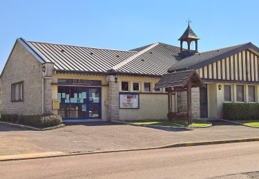
 - Conteville - Photo 1")
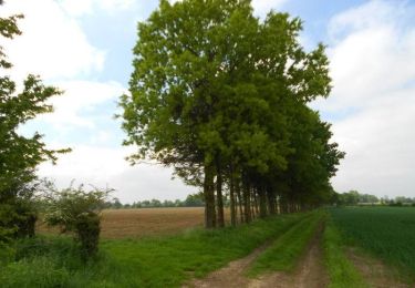
 - Conteville - Photo 2")
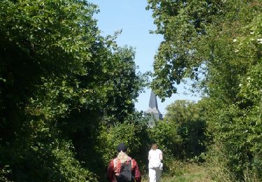
 - Conteville - Photo 3")
On foot
Equestrian

Mountain bike
Walking
On foot

On foot
On foot
On foot
On foot