


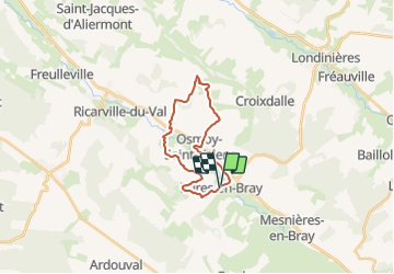

17.4 km | 22 km-effort

User


FREE GPS app for hiking
 SityTrail
IGN / Geographical institutes
SityTrail World
The world is yours!
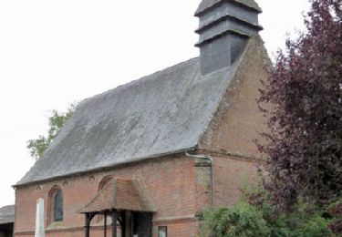
Trail Mountain bike of 17.4 km to be discovered at Normandy, Seine-Maritime, Bures-en-Bray. This trail is proposed by tracegps.
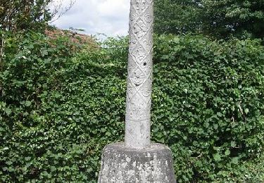
Circuit proposé par le Syndicat d'Initiative de Londinières. Départ de la place de l'église de Bures-en-Bray dont le clocher est de forme hélicoïdale. Le circuit permet de belles vues sur la vallée de la Béthune, Le retour se fait en empruntant l'ancienne ligne de chemin de fer transformée en voie verte.


Walking

Walking
Walking

Walking
Walking
Cycle

Mountain bike

Mountain bike
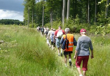
Walking