


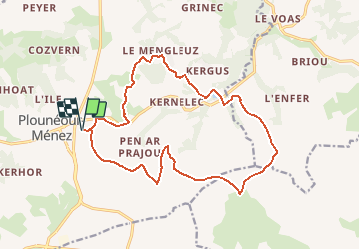

32 km | 39 km-effort


User


FREE GPS app for hiking
 SityTrail
IGN / Geographical institutes
SityTrail World
The world is yours!
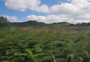
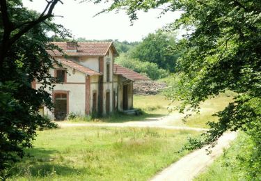
Trail Walking of 16.8 km to be discovered at Brittany, Finistère, Plounéour-Ménez. This trail is proposed by tracegps.
Départ de Guirhoel à Plounéour Menez, à travers bois et champs, direction l'abbaye du Relec. Retour par les crêtes des Monts d'Arrée. Paysage de landes avec points de vue. Rando relativement longue mais des possibilités de couper.


Mountain bike
On foot

Walking
Walking
On foot
Walking

Walking
Walking

Mountain bike