


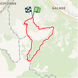

8.8 km | 12.9 km-effort

User


FREE GPS app for hiking
 SityTrail
IGN / Geographical institutes
SityTrail World
The world is yours!
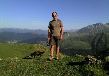
Trail Walking of 13.6 km to be discovered at Occitania, Hautespyrenees, Campan. This trail is proposed by tracegps.
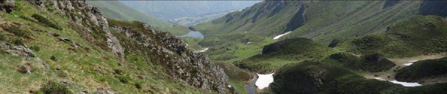
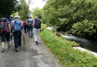
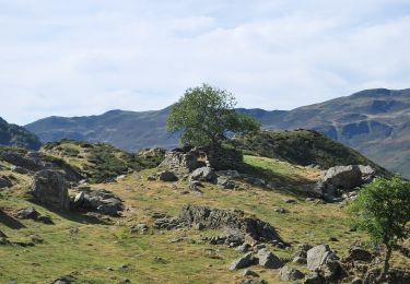
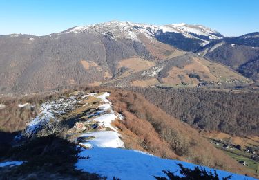
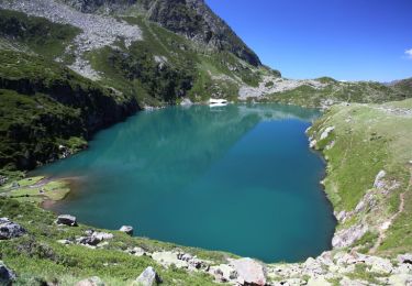
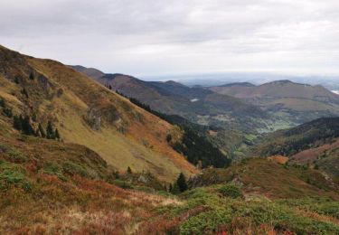
Départ depuis le col de la Courade au-dessus de Campan. On passe par le Liset de Hount Blanque, puis le Cap d'Aygue Rouye avant de redescendre sur le lac de l'Œuf au pied du Pic du Midi de Bigorre et du Pêne Nère. Retour par le lac d'Aygue Rouye, la croix de Peyras et le Bois de Niclade. Superbes paysages sur la chaîne et la plaine.


Walking

Road bike
On foot
Walking
Walking
Snowshoes

Walking
Walking
Walking