


retour au prec

reneperrin
User


Length
15.7 km

Max alt
2721 m

Uphill gradient
695 m
Km-Effort
27 km

Min alt
1671 m

Downhill gradient
1188 m
Boucle
No
Creation date :
2019-08-01 05:46:59.715
Updated on :
2019-08-01 13:18:17.538
5h51
Difficulty : Medium

FREE GPS app for hiking
 SityTrail
IGN / Geographical institutes
SityTrail Plus
The world is yours!
About
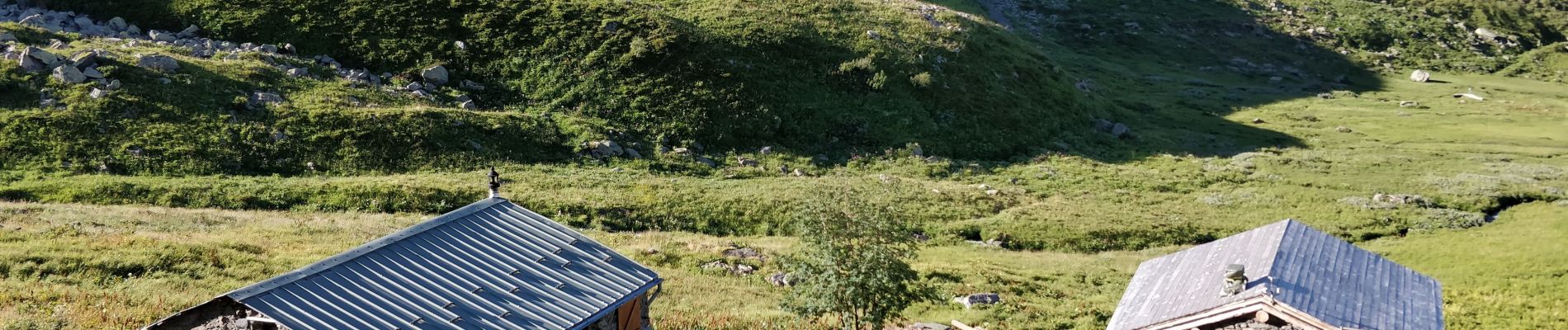
Trail Walking of 15.7 km to be discovered at Auvergne-Rhône-Alpes, Savoy, Valmeinier. This trail is proposed by reneperrin.
Photos


Positioning
Country:
France
Region :
Auvergne-Rhône-Alpes
Department/Province :
Savoy
Municipality :
Valmeinier
Location:
Unknown
Start:(Dec)
Start:(UTM)
304388 ; 5000450 (32T) N.
Comments