


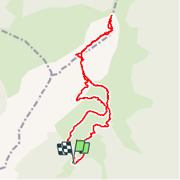

12.1 km | 23 km-effort

User


FREE GPS app for hiking
 SityTrail
IGN / Geographical institutes
SityTrail World
The world is yours!
Trail Walking of 5 km to be discovered at Occitania, Haute-Garonne, Sengouagnet. This trail is proposed by jopost.
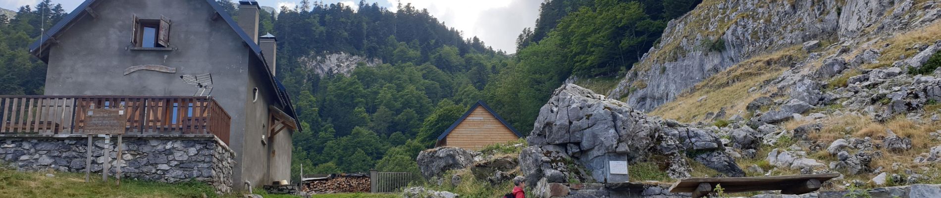
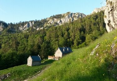
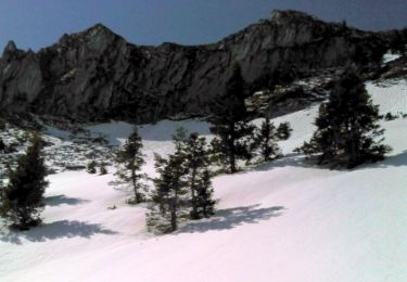
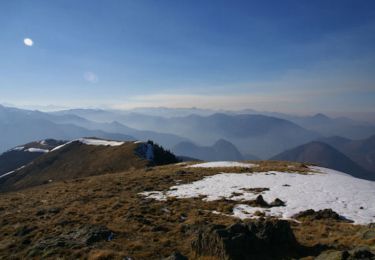
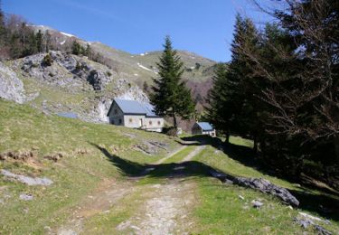
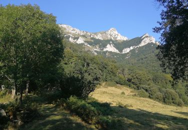
Mon petit fils Léo âgé de 5 ans et demi et moi-même âgé de 63 ans partirent depuis le refuge de Larreix pour l'ascension du pic Cagire 1912m.
Nous avons suivi le chemin au départ et ensuite hors sentier mais après 1h30, nous sommes arrivés à Pique-Poque, énormément de chardons sur le chemin. Puis direction le sommet et la croix de Cagire (dans le brouillard). Arès notre repas nous sommes redescendus puis pris sur la droite hors sentier jusqu'au bassins de Larreix. Je vous invite donc à franchir le pas et grimper avec vos enfants en leur donnant ce goût de la montagne. bonne balade


Walking

Running
On foot
Walking
Walking
Walking
Walking
Walking
Walking