


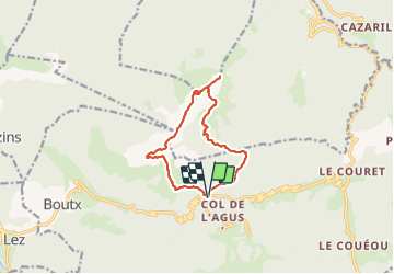

12.1 km | 23 km-effort


User GUIDE


FREE GPS app for hiking
 SityTrail
IGN / Geographical institutes
SityTrail World
The world is yours!
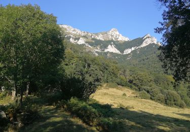
Trail Walking of 12 km to be discovered at Occitania, Haute-Garonne, Boutx. This trail is proposed by lhomme.ph.
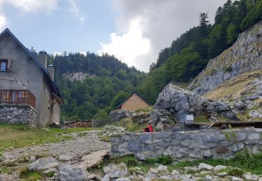
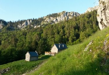
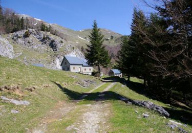
passages délicats demandant une habittude de la haute montagne...à faire par temps sec !

Walking
Walking
Walking

Walking
Walking
Walking
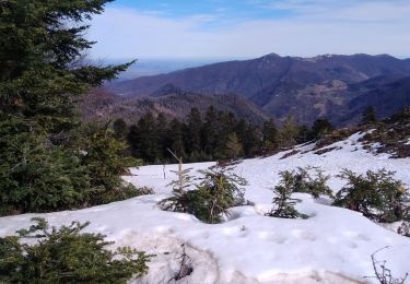
Snowshoes

Snowshoes

Walking