


4 km | 4.3 km-effort

User


FREE GPS app for hiking
 SityTrail
IGN / Geographical institutes
SityTrail World
The world is yours!
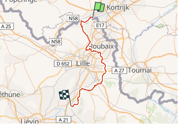
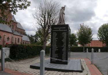
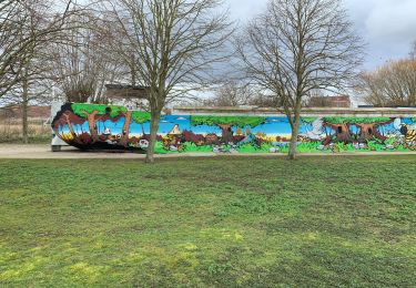
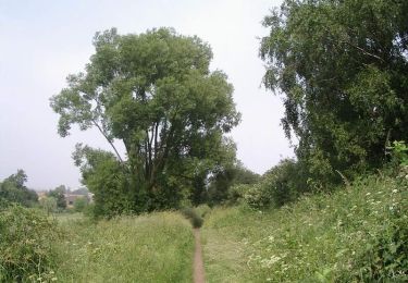
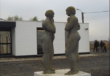
Trail Walking of 67 km to be discovered at Flanders, West Flanders, Menin. This trail is proposed by Pacotille.
Chemin de Compostelle entre la Frontière belge et le Pas de Calais (entre Halluin et Libercourt). Le chemin est balisé et continue ensuite vers Arras, Amiens, Paris ou Chartres...


On foot
On foot
On foot
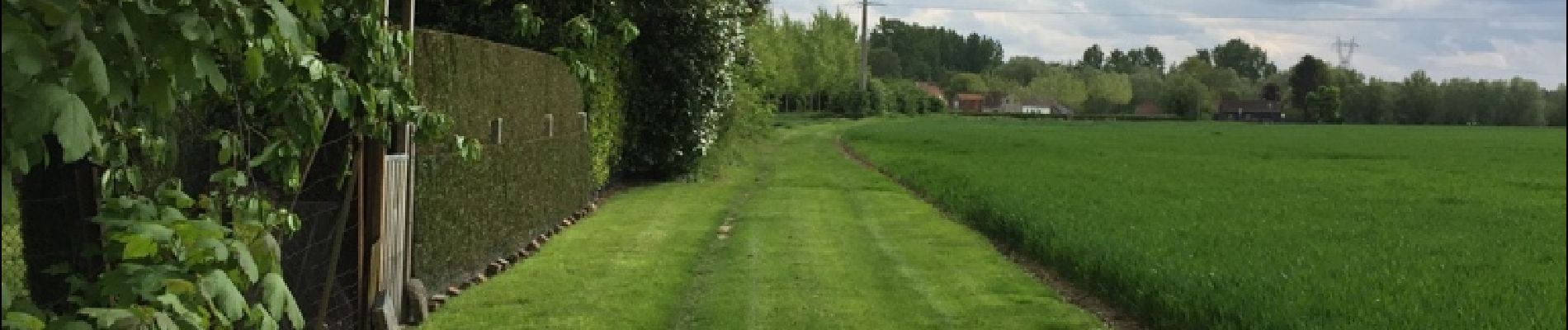
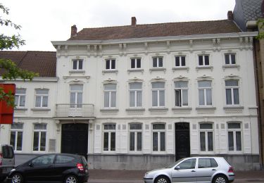
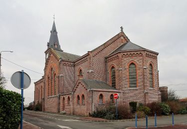
Walking

Walking

Walking
Walking

Walking
Walking