


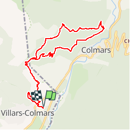

6.5 km | 12.7 km-effort


User


FREE GPS app for hiking
 SityTrail
IGN / Geographical institutes
SityTrail World
The world is yours!
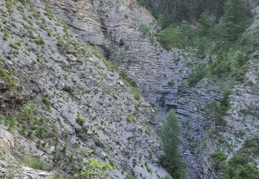
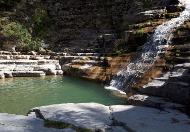
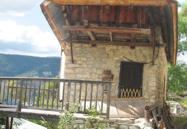
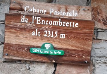
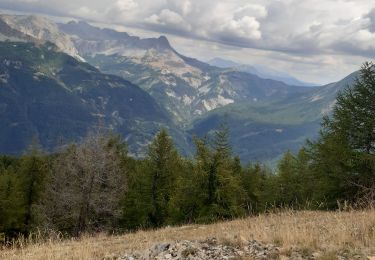
Trail Walking of 11.1 km to be discovered at Provence-Alpes-Côte d'Azur, Alpes-de-Haute-Provence, Villars-Colmars. This trail is proposed by soca.
Walking
Walking
Walking
Walking
Walking
Walking
Walking
Walking
Walking
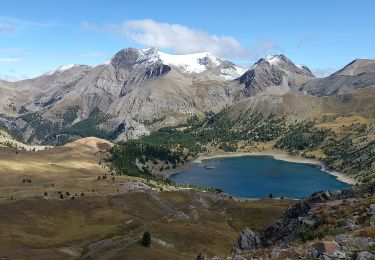
début diffusé 1h de montée faire puis facile belle vue sur la vallée de colmars les alpes.