


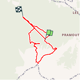

7.2 km | 11 km-effort

User


FREE GPS app for hiking
 SityTrail
IGN / Geographical institutes
SityTrail World
The world is yours!
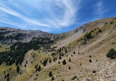
Trail Walking of 9.4 km to be discovered at Provence-Alpes-Côte d'Azur, Hautes-Alpes, Saint-André-d'Embrun. This trail is proposed by stef789.
le randonneur ardennais que je suus qualifierait cette randonnee de véritable tuerie : montee 2h40 hyper hard, pause 1h, descente 2h20 hyper hard - pas une minute de repos mais quelle magnifique rando
PS changement de batterie don petit bug dans le minutage indique


Walking

Other activity
Walking

Walking

Walking
Walking

Walking

Touring skiing
Walking