


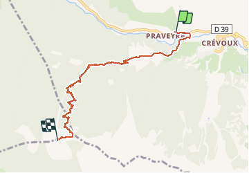

7.2 km | 11 km-effort


User


FREE GPS app for hiking
 SityTrail
IGN / Geographical institutes
SityTrail World
The world is yours!
Trail Other activity of 7.4 km to be discovered at Provence-Alpes-Côte d'Azur, Hautes-Alpes, Crévoux. This trail is proposed by CYCLOHC.

Walking
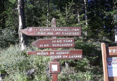
Walking

Walking

Walking

Walking

Walking
Walking

Walking
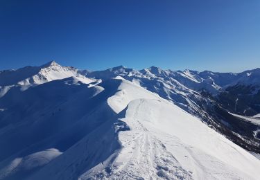
Touring skiing
Nota : l'altitude réelle est 2426 m.