


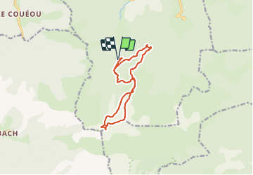

10.6 km | 18.5 km-effort

User


FREE GPS app for hiking
 SityTrail
IGN / Geographical institutes
SityTrail World
The world is yours!
Trail Walking of 13.4 km to be discovered at Occitania, Ariège, Saint-Lary. This trail is proposed by chrisgps.
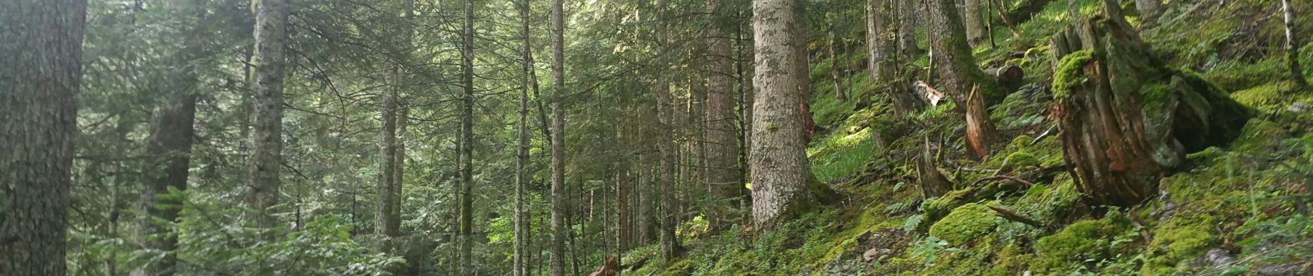
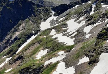
Montée par un sentier herbeux en foret à prendre dans le 2ème lacet de la piste forestièere qui monte au le col de L'herbe Soulette . De ce vaste col :
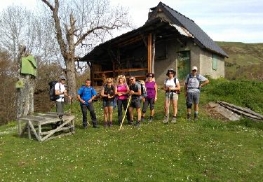
1ère boucle : en montant au Pic sur le sentier "evident" -quand il n'y a pas de brouillard !- après la croix (direct°sud S.O.) Au sommet suivre la crête pour descendre au col de la Terme et à sa cabane, ouverte et propre. Redescendre en suivant le balisage jaune, pour rejoindre la piste forestière des Trémailles au col de l'Herbe Soulette.
2ème boucle depuis ce col, laisser la piste pour prendre en contrebas une "ancienne" piste qui nous ramene aussi au col et à la cabane de l'Estrade : plus courte et plus douce que la montée matinale.


Walking
Walking

Walking
Walking

On foot
Walking

Walking
Walking
Walking