


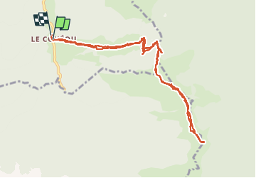

12.1 km | 23 km-effort


User


FREE GPS app for hiking
 SityTrail
IGN / Geographical institutes
SityTrail World
The world is yours!
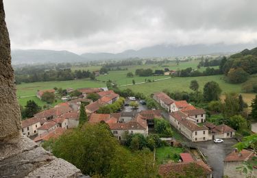
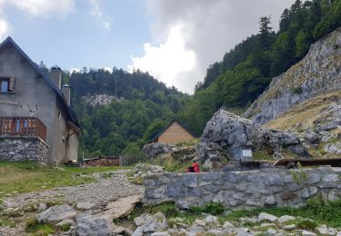
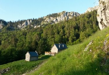
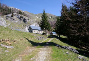
Trail Walking of 11.7 km to be discovered at Occitania, Haute-Garonne, Boutx. This trail is proposed by martoche.
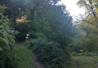
la piste raide est très encombrée au debut mais ca passe en restant toujours sur cette piste.

Walking
Walking
Walking
Walking
Walking
Walking

Walking
Walking
Walking