


Col de Fouchy

LUTZMarc
User
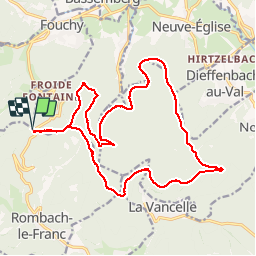

Length
20 km

Max alt
746 m

Uphill gradient
678 m
Km-Effort
29 km

Min alt
474 m

Downhill gradient
680 m
Boucle
Yes
Creation date :
2019-08-14 07:11:47.323
Updated on :
2019-08-15 05:48:45.713
4h47
Difficulty : Medium

FREE GPS app for hiking
 SityTrail
IGN / Geographical institutes
SityTrail Plus
The world is yours!
About
Trail Walking of 20 km to be discovered at Grand Est, Haut-Rhin, Rombach-le-Franc. This trail is proposed by LUTZMarc.
Description
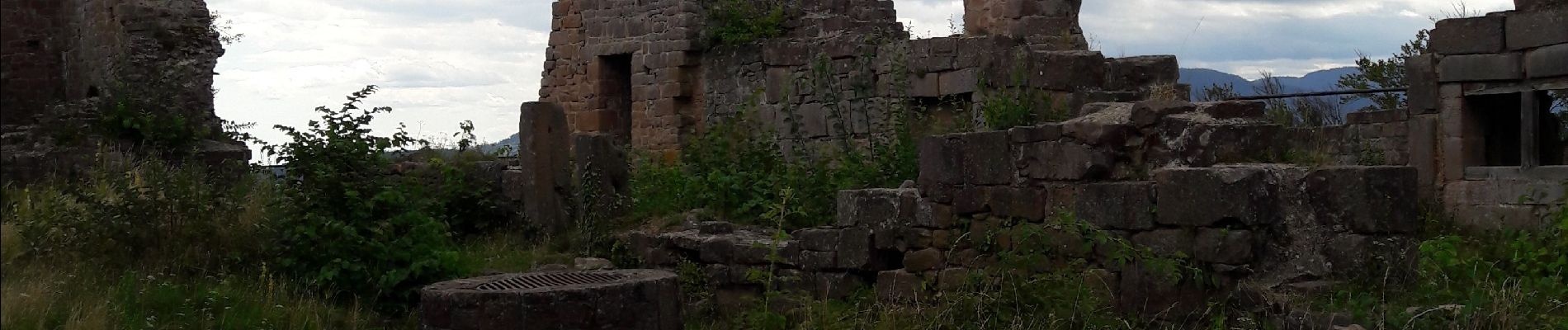
Rando en foret sur de petits sentiers très agréable.
Photos


Positioning
Country:
France
Region :
Grand Est
Department/Province :
Haut-Rhin
Municipality :
Rombach-le-Franc
Location:
Unknown
Start:(Dec)
Start:(UTM)
370966 ; 5351628 (32U) N.
Comments