


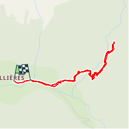

21 km | 35 km-effort


User


FREE GPS app for hiking
 SityTrail
IGN / Geographical institutes
SityTrail World
The world is yours!
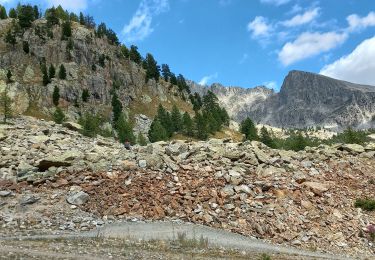
Trail Walking of 4.5 km to be discovered at Provence-Alpes-Côte d'Azur, Maritime Alps, Valdeblore. This trail is proposed by patsure.
le 15 aout pour la fetede Mollieres


Other activity
On foot
On foot
On foot

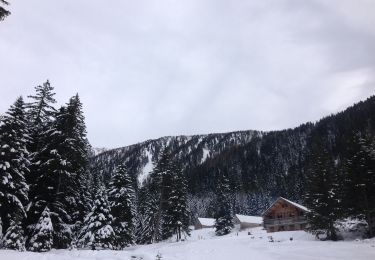
Walking

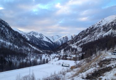
Snowshoes

Walking
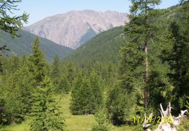
Walking
Walking