


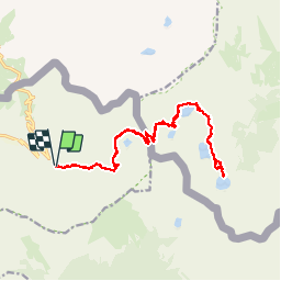


8.6 km | 19.2 km-effort

User


FREE GPS app for hiking
 SityTrail
IGN / Geographical institutes
SityTrail World
The world is yours!
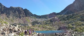
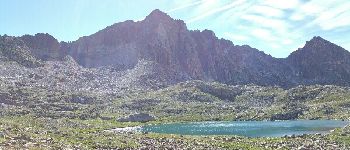
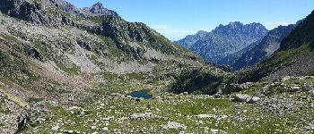
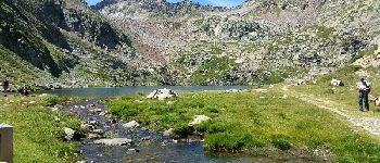
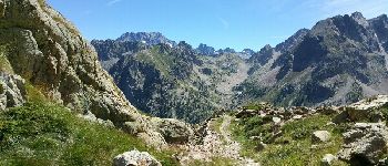
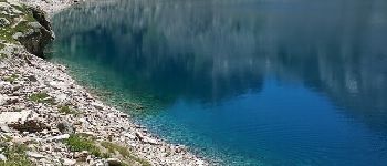
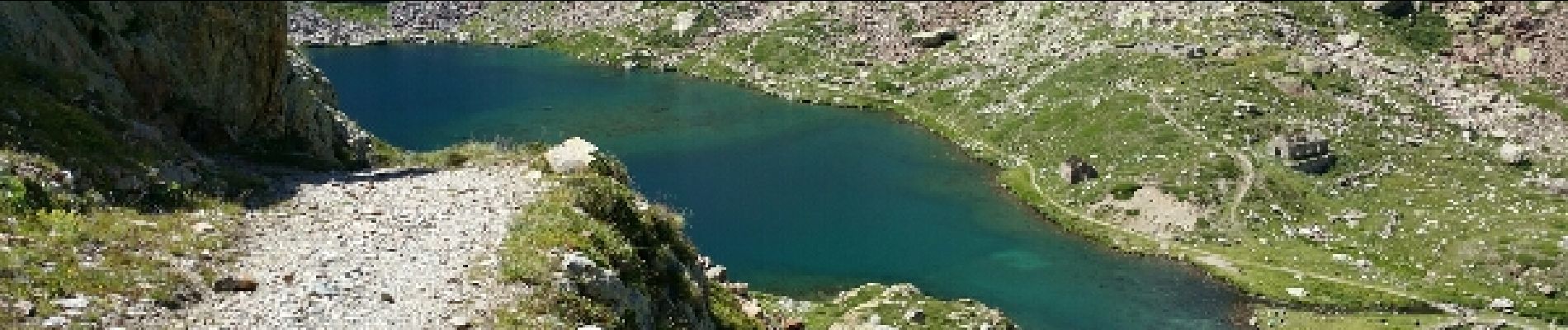
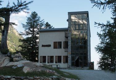
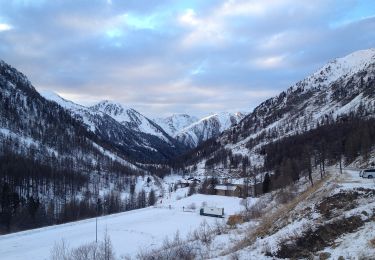
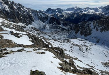
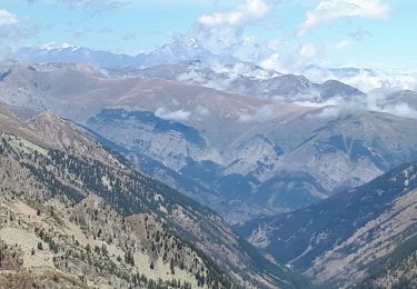
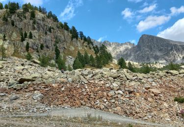
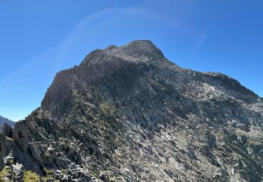
Trail Other activity of 21 km to be discovered at Provence-Alpes-Côte d'Azur, Maritime Alps, Isola. This trail is proposed by patsure.


On foot
On foot

Walking
Snowshoes
Walking
Walking
Walking
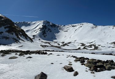
Snowshoes
Belle rando