


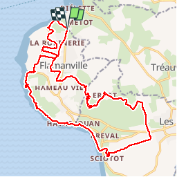

23 km | 28 km-effort


User


FREE GPS app for hiking
 SityTrail
IGN / Geographical institutes
SityTrail World
The world is yours!
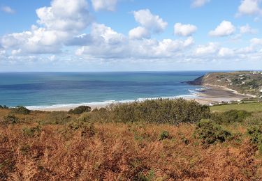
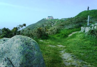
Trail Walking of 23 km to be discovered at Normandy, Manche, Tréauville. This trail is proposed by TonioNantes.
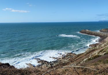
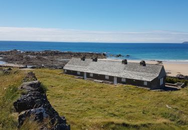
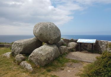
Chemin côtier, roche à Coucou et château

Walking
Walking
Walking

Mountain bike

Mountain bike

Running
Walking
Mountain bike