Trail Walking Bidarray - Aritzakun Village abandonné - Photo

Aritzakun Village abandonné

 jaja64
jaja64

User

© OpenStreetMap contributors
Length
Length
12.2 km
Max alt
Max alt
339 m
Uphill gradient
Uphill gradient
328 m
Km-Effort
Km-Effort  
16.6 km
Min alt
Min alt
168 m
Downhill gradient
Downhill gradient
326 m
Boucle
Boucle
Yes
Creation date :
2019-08-17 08:51:12.0
Updated on :
2019-08-17 16:04:17.029

(0 Reviews)

Walking
Walking
3h30
Difficulty : Easy

Scan this QR Code to open this trail in the SityTrail application

FREE GPS app for hiking

Logo SityTrail SityTrail

IGN / Geographical institutes

Download SityTrail from the App Store Download SityTrail from Google Play

Logo SityTrail SityTrail Plus

The world is yours!

Download SityTrail from the App Store Download SityTrail from Google Play Download SityTrail on Huawei AppGallery

About

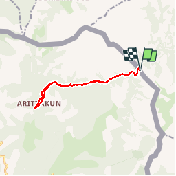
Trail Walking of 12.2 km to be discovered at New Aquitaine, Pyrénées-Atlantiques, Bidarray. This trail is proposed by jaja64.

Description

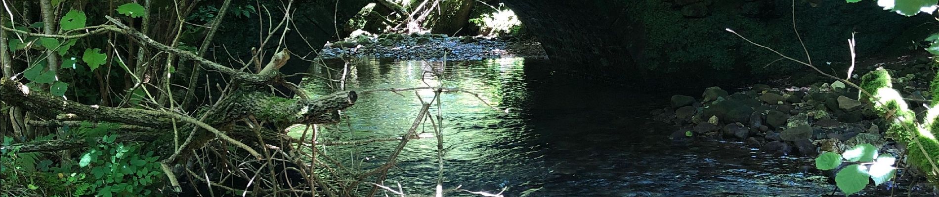
Du parking Bassassagar, descendre , traverser le pont de Sumutsu. Suivre la piste qui remonte la vallée d'Aritzakun, Le village est à environ 5 km de l'autre coté. On peut facilement le manquer l'été à cause de la végétation.

Elevation profile

Photos

Positioning

Country:
France
Region :
New Aquitaine
Department/Province :
Pyrénées-Atlantiques
Municipality :
Bidarray
Location:
Unknown
Start:(UTM)
630862 ; 4790649 (30T) N.


Close
My subscriptions