


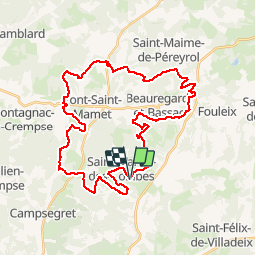

5.8 km | 7.6 km-effort


User


FREE GPS app for hiking
 SityTrail
IGN / Geographical institutes
SityTrail World
The world is yours!
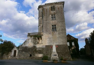
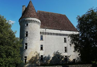
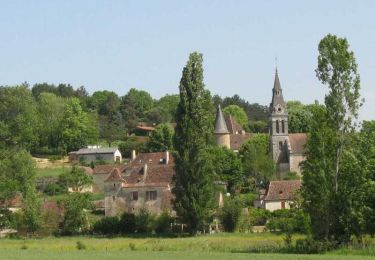
Trail Mountain bike of 40 km to be discovered at New Aquitaine, Dordogne, Saint-Martin-des-Combes. This trail is proposed by amelie14.
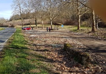
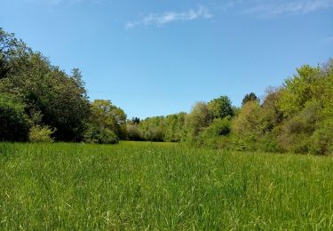
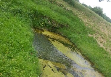
Beaux chemins et petites routes principalement. Quelques champs aussi ;-(
On foot
Walking

Walking
On foot
Walking
Walking

Walking
Walking