


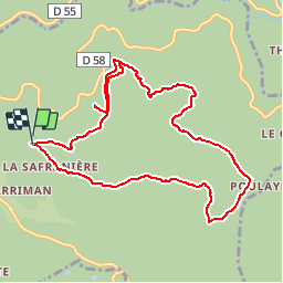

11.9 km | 15.5 km-effort


User


FREE GPS app for hiking
 SityTrail
IGN / Geographical institutes
SityTrail World
The world is yours!
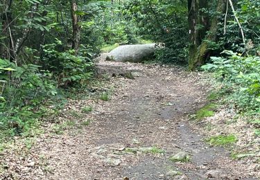
Trail On foot of 11.2 km to be discovered at Occitania, Tarn, Lacrouzette. This trail is proposed by leroj73.
ballade au milieu des rochers , exception géologique unique en Europe ( sic google)

Walking

Walking

Mountain bike
Mountain bike
On foot
Walking
Walking
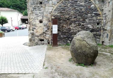
parcours tranquile et propre (malgré qlq indélicats qui se soulagent à l ombre des rochers).... une promenade où il fait non flané ... pas de difficultés si ce n est par temps humide pour les roches et racines.